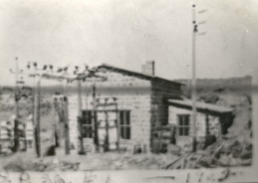
WASHINGTON COUNTY HISTORICAL SOCIETY (Washington County, Utah)
SAND COVE HYDROELECTRIC POWER PLANT
(aka POWER PLANT #3)
Between Dammeron Valley and Gunlock, Utah
LOCATION
Located on Lower Sand Cove Road between Dammeron Valley and Gunlockand between Upper Sand Cove Reservoir and Lower Sand Cove Reservoir.
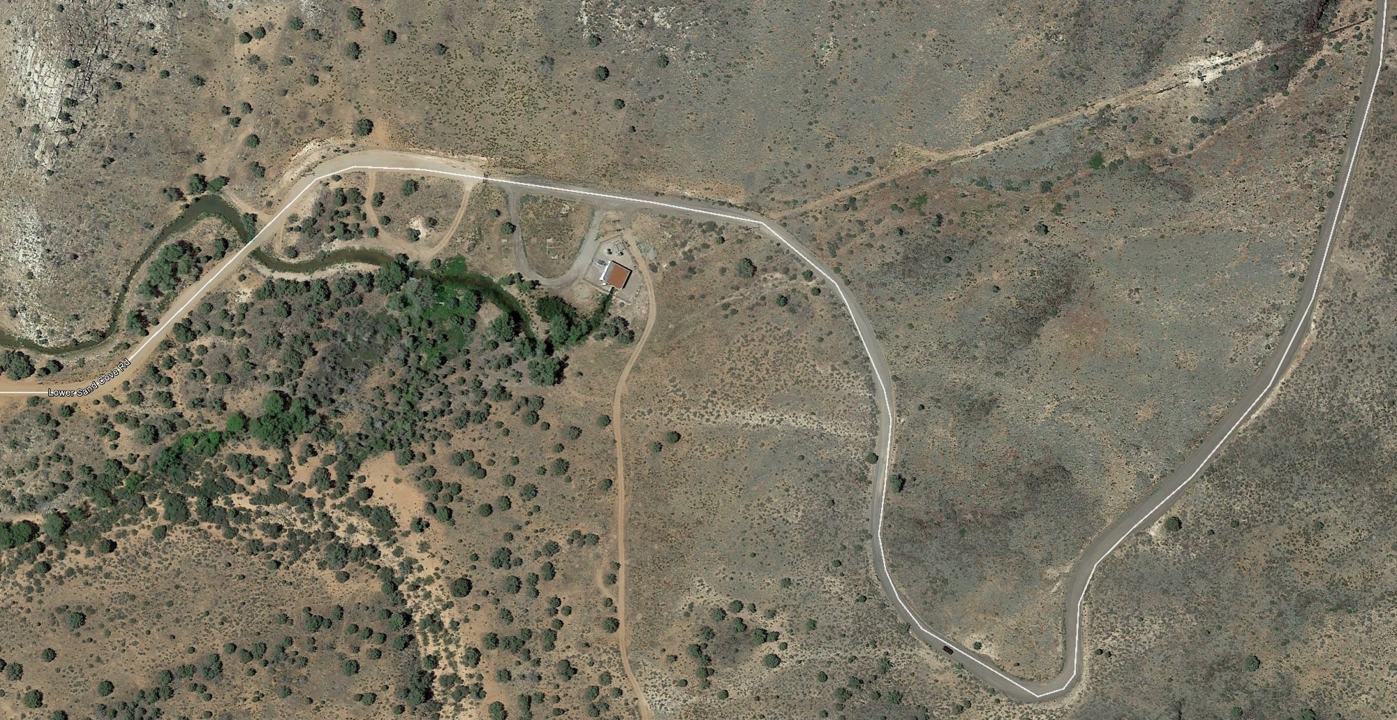 For a larger view, click here.
37° 16' 51.12" North Latitude, 113° 43' 40.46" West Longitude
37.2809° North Latitude, 113.7379° West Longitude
4,131 feet (1,259 meters) elevation
HISTORY
TBDPHOTOS
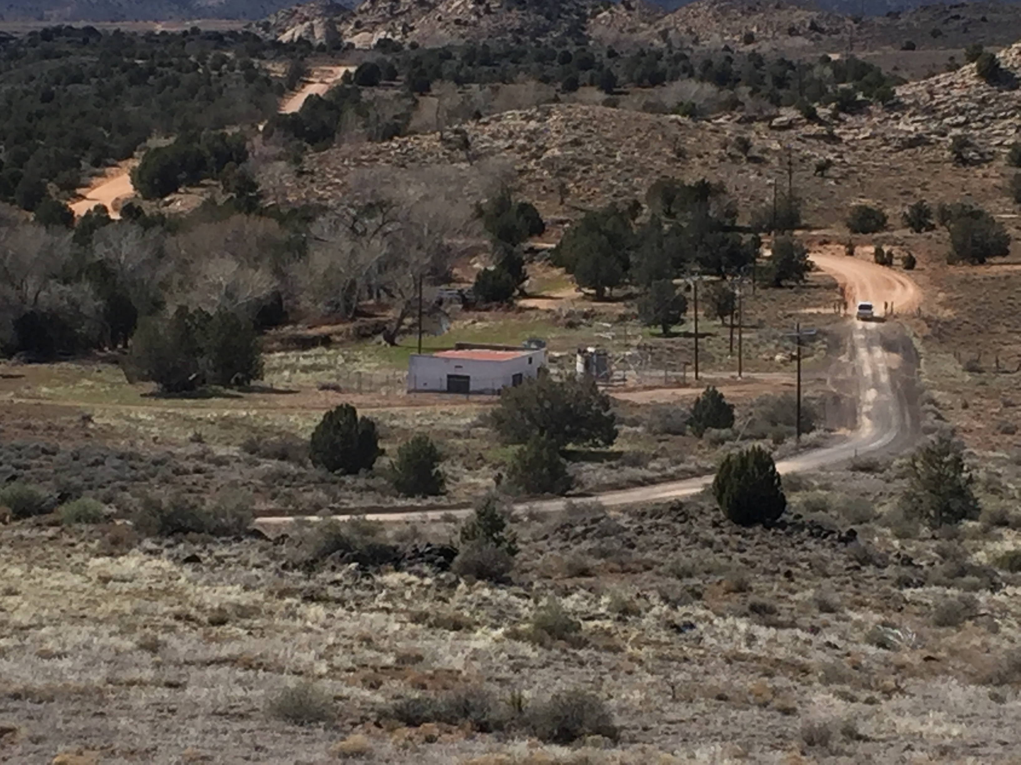
WCHS-03270 Photo of Lower Sand Cove Road and Power Plant #3
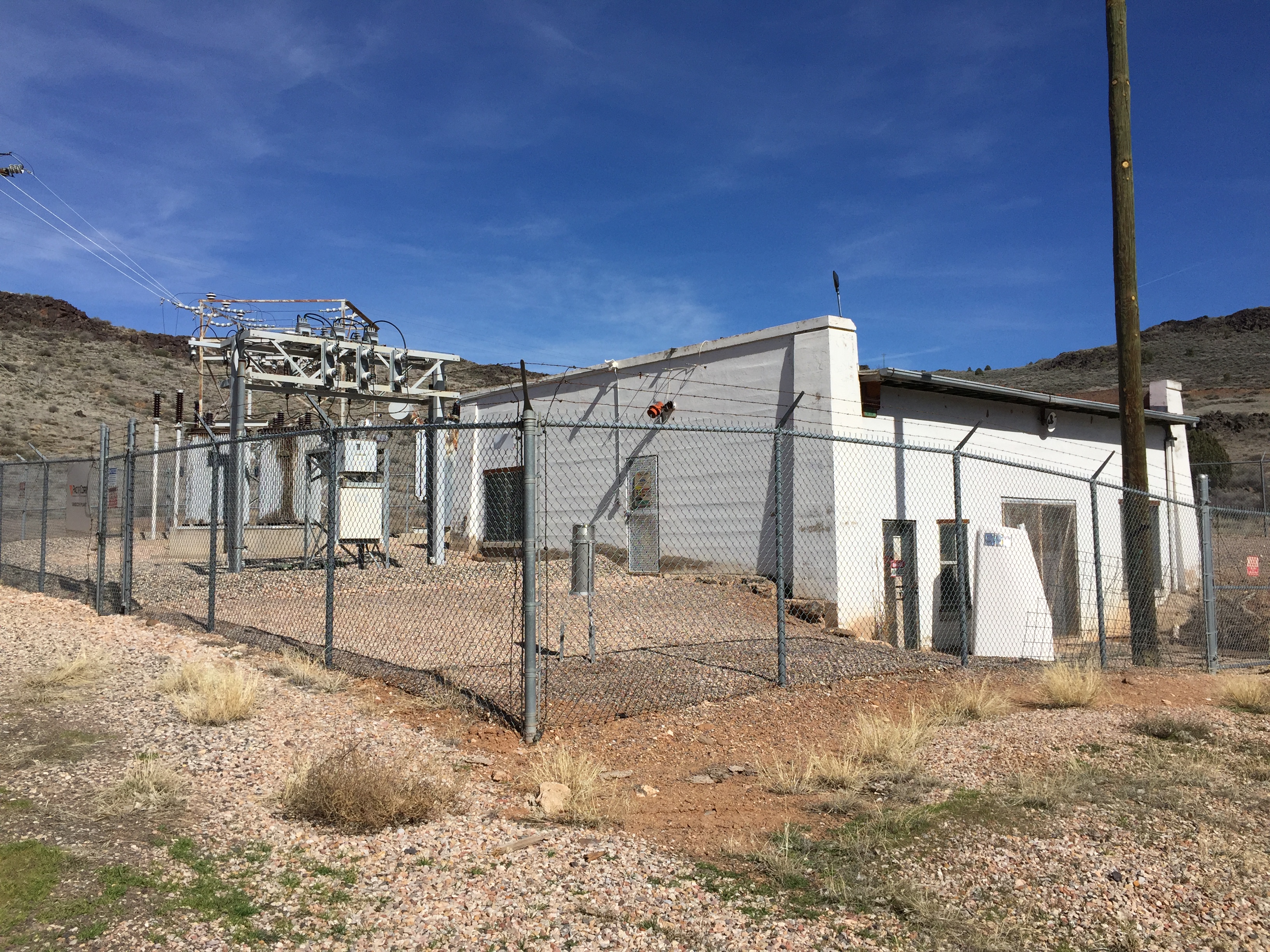 WCHS-03274 Power Plant #3 looking eastnortheast |
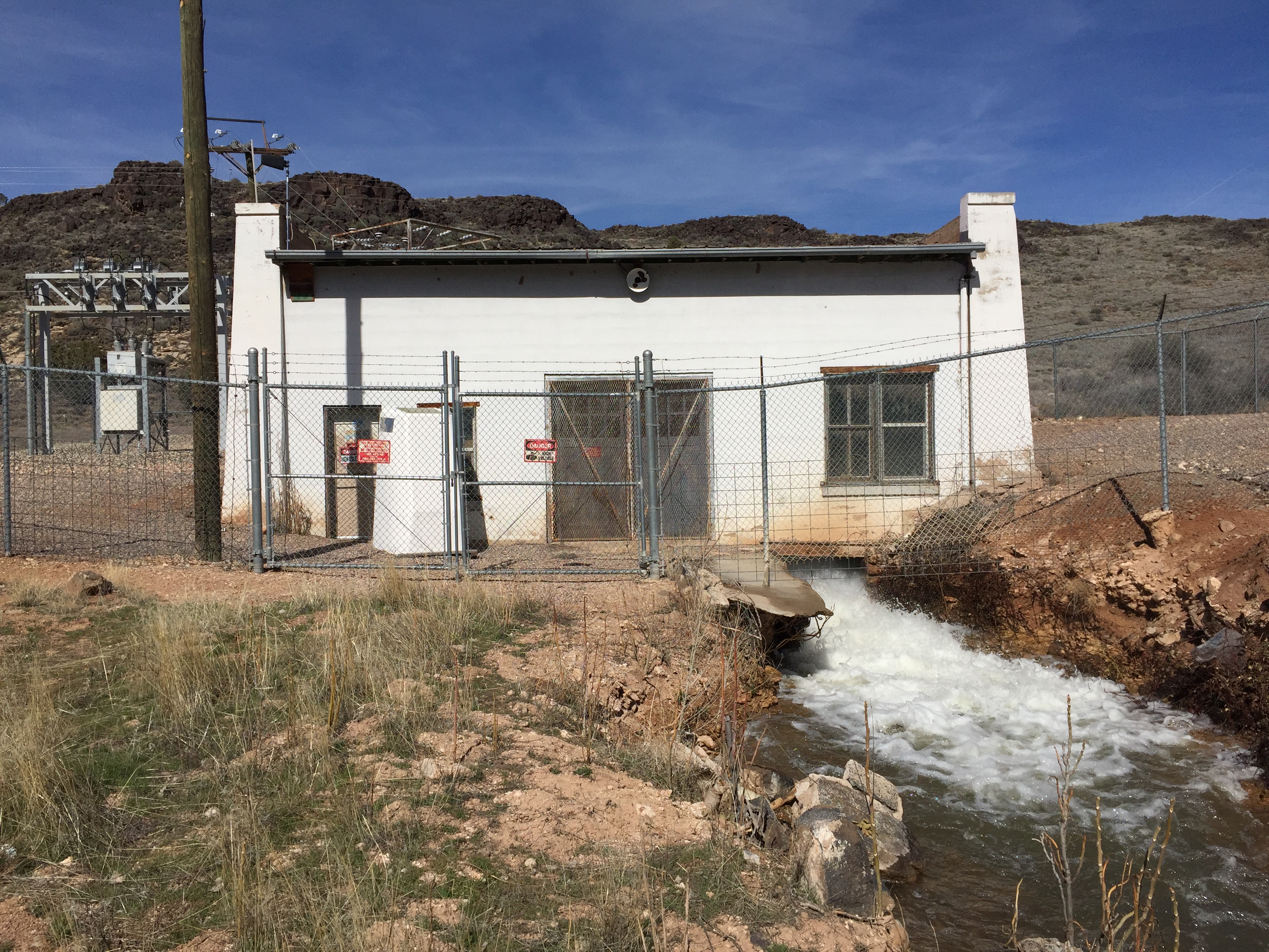 WCHS-03275 Power Plant #3 looking northeast |
Other WCHS photos:
WCHS-03269 Photo of Lower Sand Cove Road and Power Plant #3
WCHS-03271 Photo of two power poles and the input pipe line at Power Plant #3
WCHS-03272 Photo of the outside of Power Plant #3
WCHS-03273 Photo of a sign on the fence around Power Plant #3
WCHS-03276 Photo of some old building foundations on the west side of Power Plant #3
WCHS-03312 Photo of the Sand Cove Hydroelectric Power Plant
WCHS-03313 Photo of the Sand Cove Hydroelectric Powerhouse
WCHS-03314 Photo of the pipeline running down to the Sand Cove Hydroelectric Power Plant
WCHS-03315 Photo of the Sand Cove Hydroelectric Power Plant
WCHS-03316 Photo of the generator inside the Sand Cove Hydroelectric Powerhouse
REFERENCES
Santa Clara Hydroelectric Power Plants Historic DistrictNational Register of Historic Places, Inventory - Nomination Form
Photos from the National Register of Historic Places nomination form