WASHINGTON COUNTY HISTORICAL SOCIETY (Washington County, Utah)
WASHINGTON COUNTY HISTORICAL SOCIETY PHOTO COLLECTION
Photo WCHS-03532
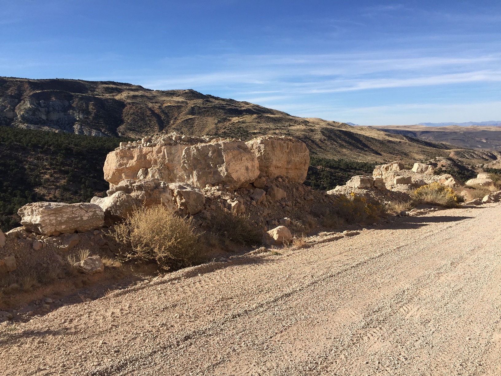
Photo of some "hay rocks" along BLM Road 1069 (the Mt. Trumbull Loop).
Also see WCHS-03531 and WCHS-03533.
Photo taken by George Cannon at 4:13 pm MDT on 10/27/2017 on a Cotton Mission Chapter Sons of
Utah Pioneers field trip to explore the Temple Trail on the Arizona Strip and contributed by him on 11/5/2017.
The camera is facing northwest and was located at
36° 49' 40.66" North Latitude; 113° 34' 19.25" West Longitude.