WASHINGTON COUNTY HISTORICAL SOCIETY (Washington County, Utah)
HAY ROCKS
Arizona Strip, Arizona
LOCATION
|
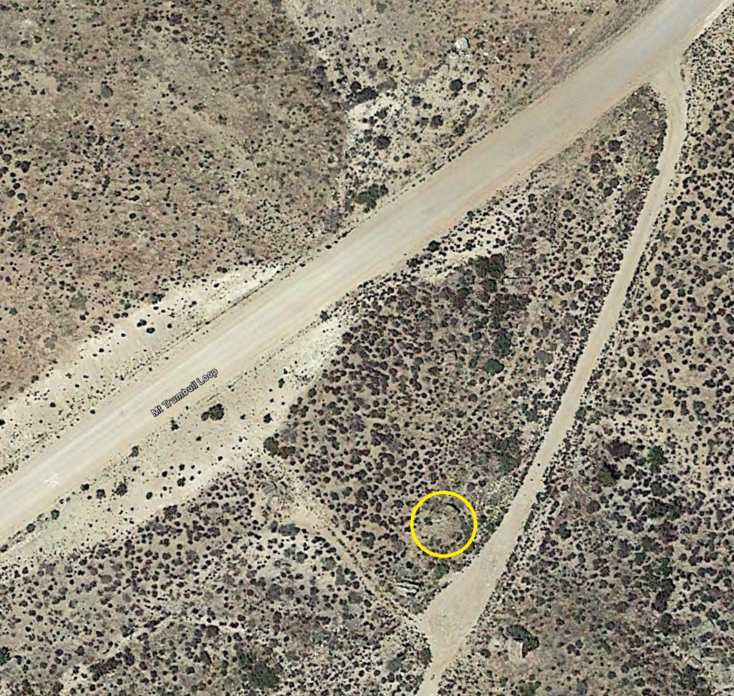
On the Mt. Trumbull Loop = BLM Road 1069
about 11 miles south of the UT/AZ border 36° 51' 17.34" North, 113° 34' 21.14" West 36.8548° North, 113.5925° West 4,351 feet (1,326 meters) MSL There are some additional hay rocks about two miles farther south. 36° 49' 40.88" North, 113° 34' 19.58" West 36.8280° North, 113.5721° West 5,014 feet (1,528 meters) MSL 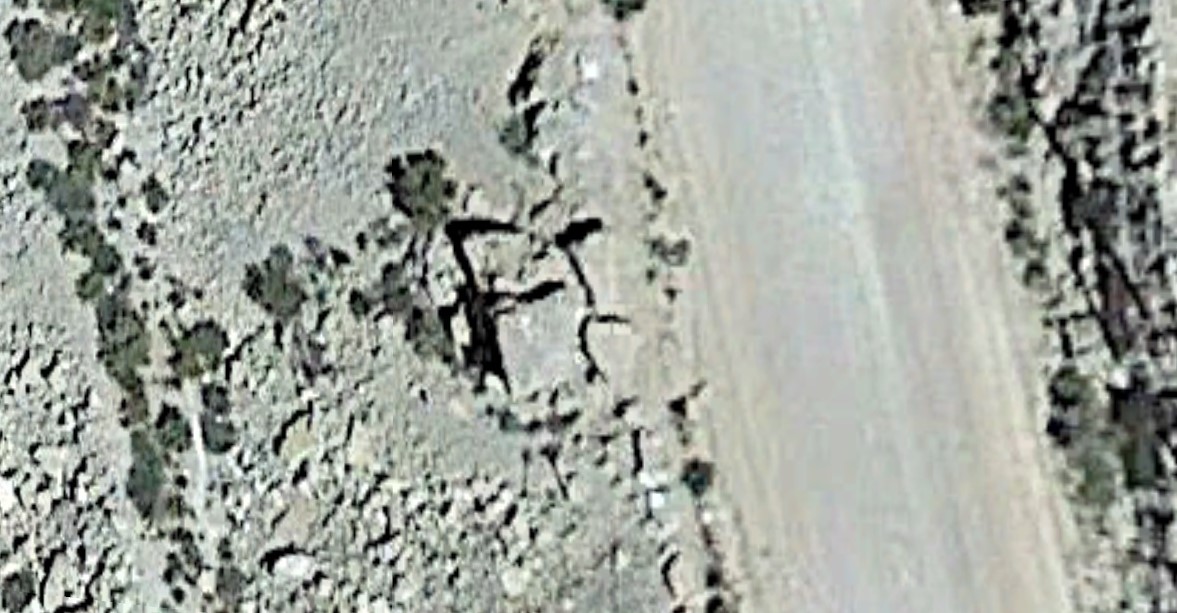 For a higher resolution image, click here. |
DESCRIPTION
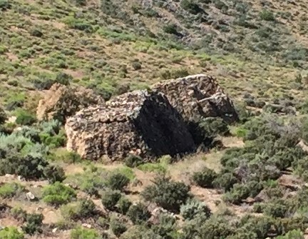
Hay rocks were large rocks, fairly flat on top, and tall enough off the ground that commodities could beleft on them without animals being able to reach them.
HISTORY
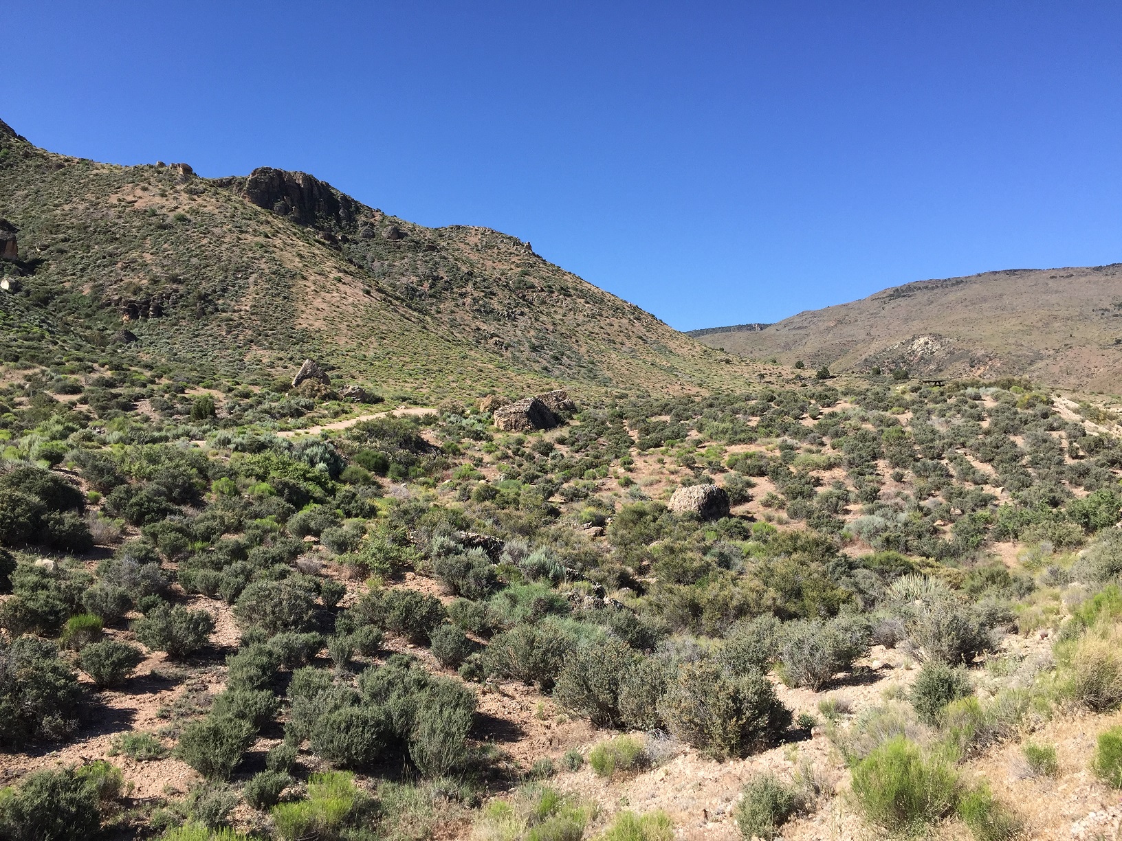
There are two rocks where early pioneers on the Arizona Strip used to cache hay and grain on their wayinto St. George so that they would have feed for their animals on the way back. These rocks were on the
old pre-1920s road where it came up out of the valley floor onto the east side of the canyon.
There are several other hay rocks a little farter south that are right on the edge of the current road
which was built by the Civilian Conservations Corps (CCC) around 1935.
PHOTOS
WCHS-03326 Photo of the early hay rocks (closer)
Other WCHS photos:
WCHS-03325 Photo of the early hay rocks (farther back)
WCHS-03531 Photo of the later hay rocks
WCHS-03532 Photo of the later hay rocks
WCHS-03533 Photo of the later hay rocks