WASHINGTON COUNTY HISTORICAL SOCIETY (Washington County, Utah)
GOOSEBERRY MESA
Washington County, Utah
LOCATION
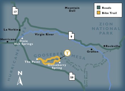
On the northnortheast side of State Route 59 between Hurricane and Hilldale.
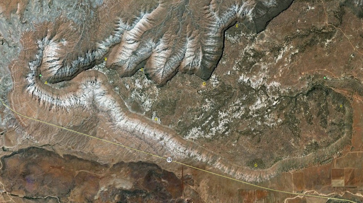
 A: 37° 8' 22" North Latitude, 113° 13' 57" West Longitude, 5,380 feet MSL
B: 37° 8' 38" North Latitude, 113° 13' 6" West Longitude, 5,350 feet MSL
C: 37° 8' 31" North Latitude, 113° 12' 34" West Longitude, 5,315 feet MSL
D: 37° 8' 23" North Latitude, 113° 11' 39" West Longitude, 5,255 feet MSL
E: 37° 9' 3" North Latitude, 113° 11' 11" West Longitude, 5,140 feet MSL
F: 37° 8' 9" North Latitude, 113° 9' 42" West Longitude, 5,150 feet MSL
G: 37° 7' 26" North Latitude, 113° 10' 56" West Longitude, 5,200 feet MSL
H: 37° 7' 58" North Latitude, 113° 12' 22" West Longitude, 5,400 feet MSL
HISTORY
TBDPHOTOS
Photos on the web:Collected photos of Gooseberry Mesa
REFERENCES
BLM: Gooseberry Mesa National Recreation TrailMountain Biking on Gooseberry Mesa
From views of Zion to red desert sands, biking the Gooseberry Mesa Trail is a technical rider's dream
Article by Andrew Pinckney, St. George News, September 18, 2018
"Romancing the Mesas: An Anecdotal History of the Settling of Southern Utah"
Book by Ruth Cornelius and Russell B. Cornelius
See the information page.