WASHINGTON COUNTY HISTORICAL SOCIETY (Washington County, Utah)
WASHINGTON COUNTY HISTORICAL SOCIETY PHOTO COLLECTION
Photo WCHS-03477
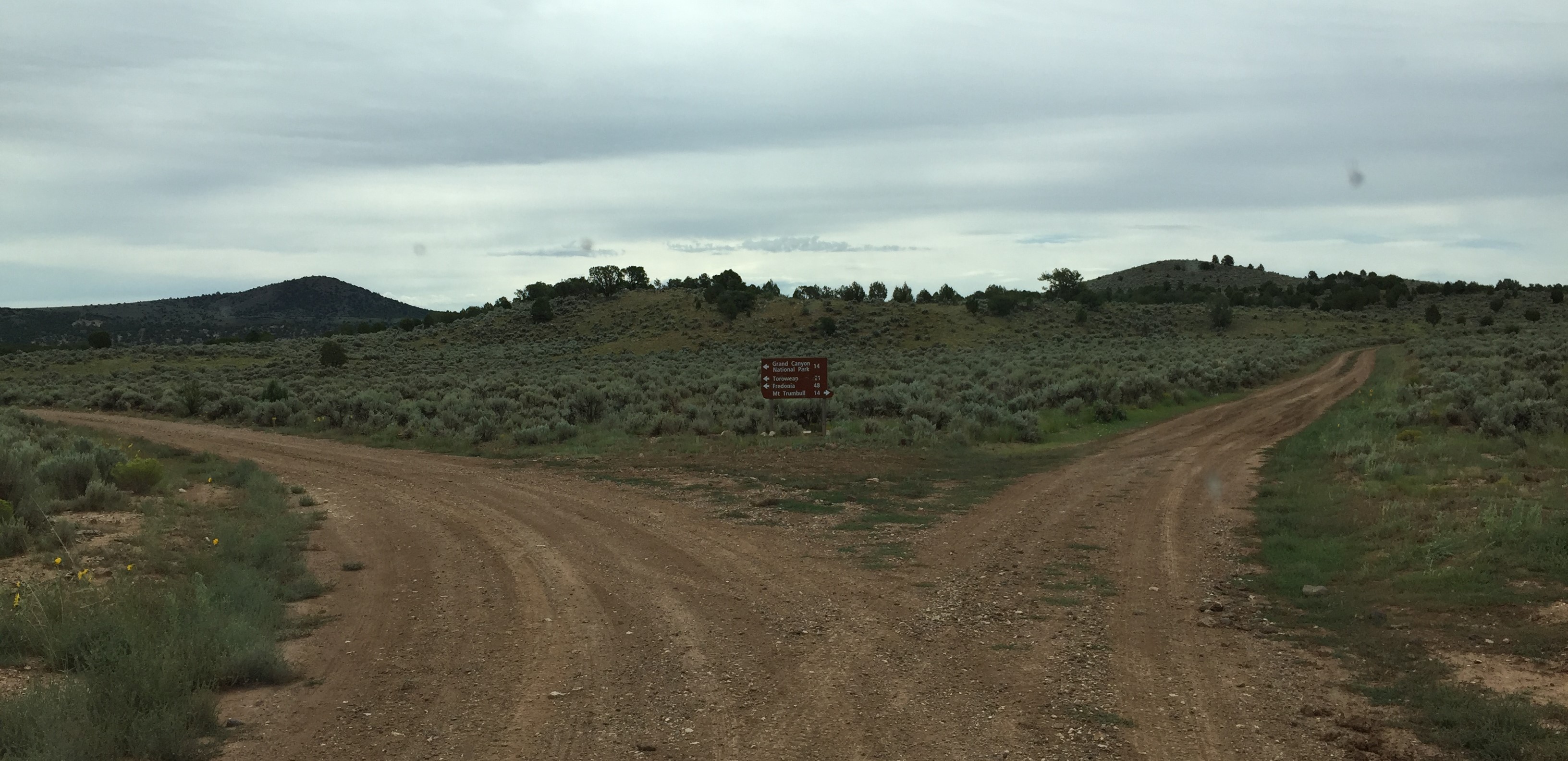
Photo of a sign at the junction of Mohave County Road 5 = Mt. Trumbull Loop (to the left)
and BLM Road 717 (to the right) on the Arizona Strip.
For a higher resolution version of this photo, click here.
At the point labeled "B" on the trip map.
Photo taken 8/24/2017 at 11:35 pm MDT on a Dixie Arizona Strip Interpretive Association (DASIA) field trip
by George Cannon and contributed by him on 8/25/2017.
The camera is facing southeast and is located at 36° 29' 6.29" North Latitude, 113° 2' 46.61" West Longitude.