WASHINGTON COUNTY HISTORICAL SOCIETY (Washington County, Utah)
WASHINGTON COUNTY HISTORICAL SOCIETY PHOTO COLLECTION
Photo WCHS-03462
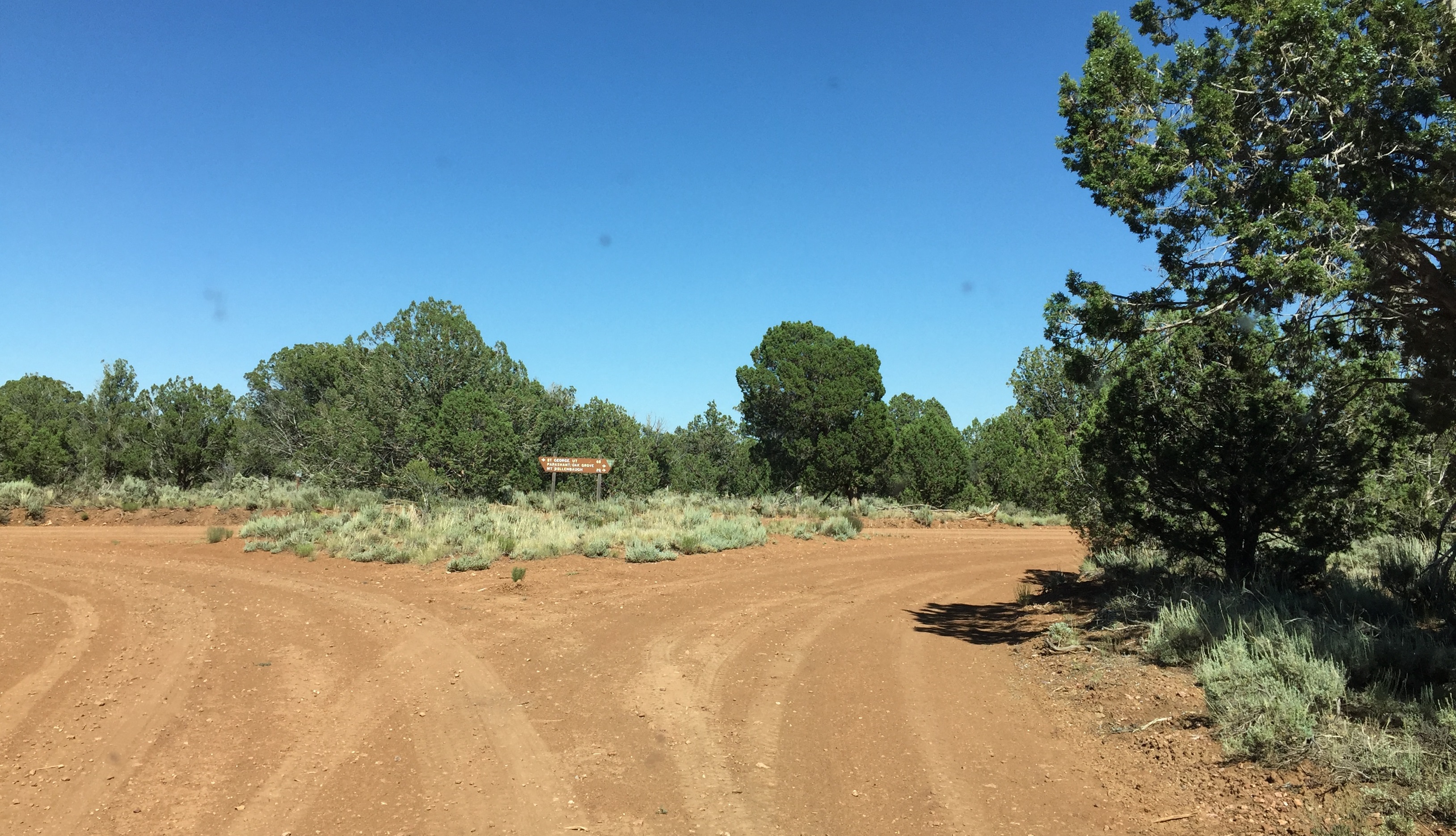
Photo of the junction of BLM Road 1054 and Mohave County Road 103 on the Arizona Strip.
The sign says St. George is 68 miles to the north and Mt. Dellenbaugh 20 miles to the south.
At the point labeled "P" on the trip map.
Photo taken 6/22/2017 at 4:49 pm MDT on a Dixie Arizona Strip Interpretive Association (DASIA) field trip
by George Cannon and contributed by him on 7/22/2017.
The camera is facing east and is located at 36° 21' 37.36" North Latitude, 113° 37' 51.62" West Longitude.