WASHINGTON COUNTY HISTORICAL SOCIETY (Washington County, Utah)
WASHINGTON COUNTY HISTORICAL SOCIETY PHOTO COLLECTION
Photo WCHS-03460
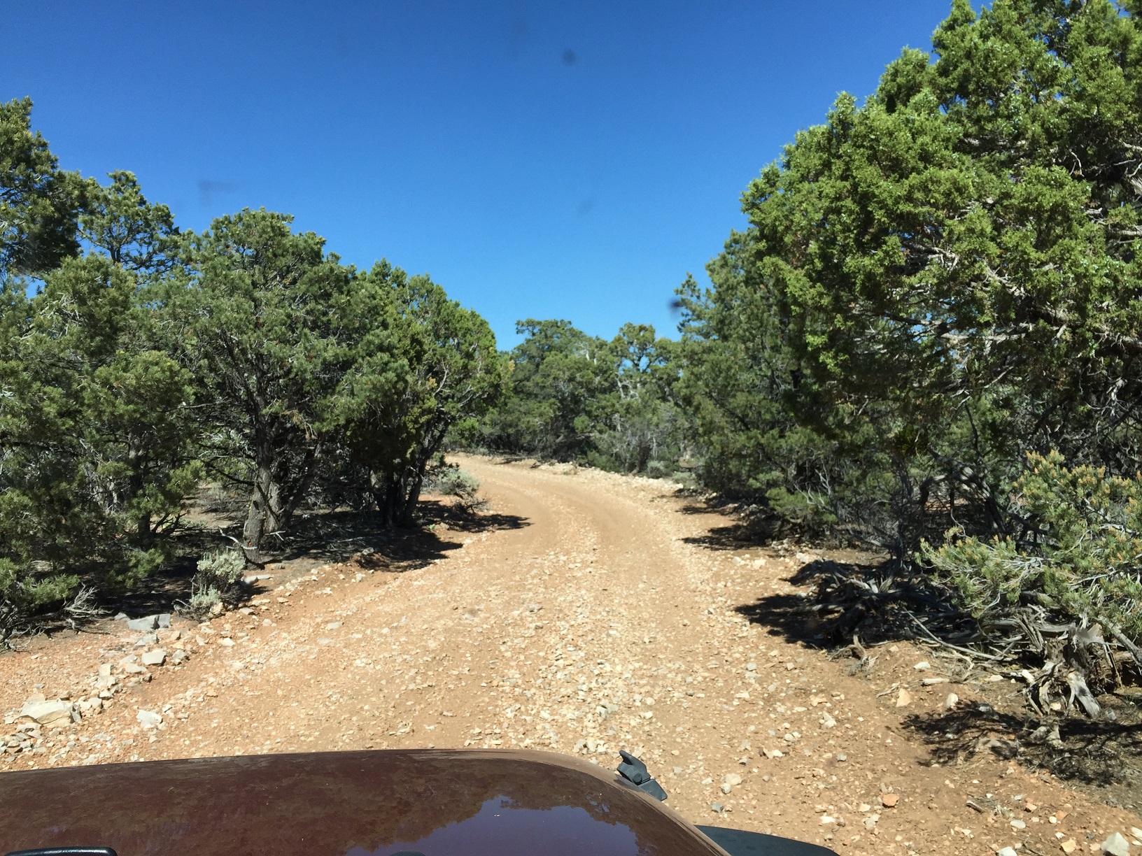
Photo of a segment of road between BLM Road 1071 and BLM Road 1054 on the Arizona Strip.
At the point labeled "N" on the trip map.
Photo taken 6/22/2017 at 4:23 pm MDT on a Dixie Arizona Strip Interpretive Association (DASIA) field trip
by George Cannon and contributed by him on 7/22/2017.
The camera is facing east and is located at 36° 23' 1.75" North Latitude, 113° 42' 19.35" West Longitude.