WASHINGTON COUNTY HISTORICAL SOCIETY (Washington County, Utah)
WASHINGTON COUNTY HISTORICAL SOCIETY PHOTO COLLECTION
Photo WCHS-03449
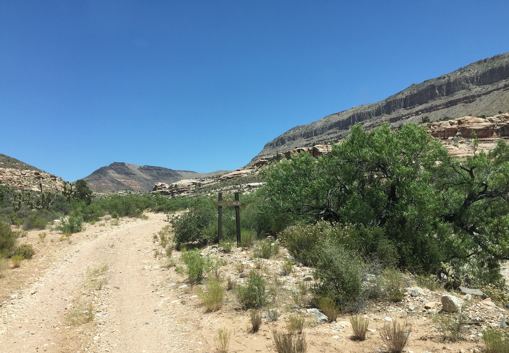
Photo of Nutter Twists Road where the Jump Canyon road (BLM Road 1033) comes in from the left/north
on the Arizona Strip.
At the point labeled "J" (but on the right/east side of the road) on the trip map.
Photo taken 6/22/2017 at 12:46 pm MDT on a Dixie Arizona Strip Interpretive Association (DASIA) field trip
by George Cannon and contributed by him on 7/22/2017.
The camera is facing north and is located at 36° 33' 20.91" North Latitude, 113° 45' 37.44" West Longitude.