WASHINGTON COUNTY HISTORICAL SOCIETY (Washington County, Utah)
WASHINGTON COUNTY HISTORICAL SOCIETY PHOTO COLLECTION
Photo WCHS-03440
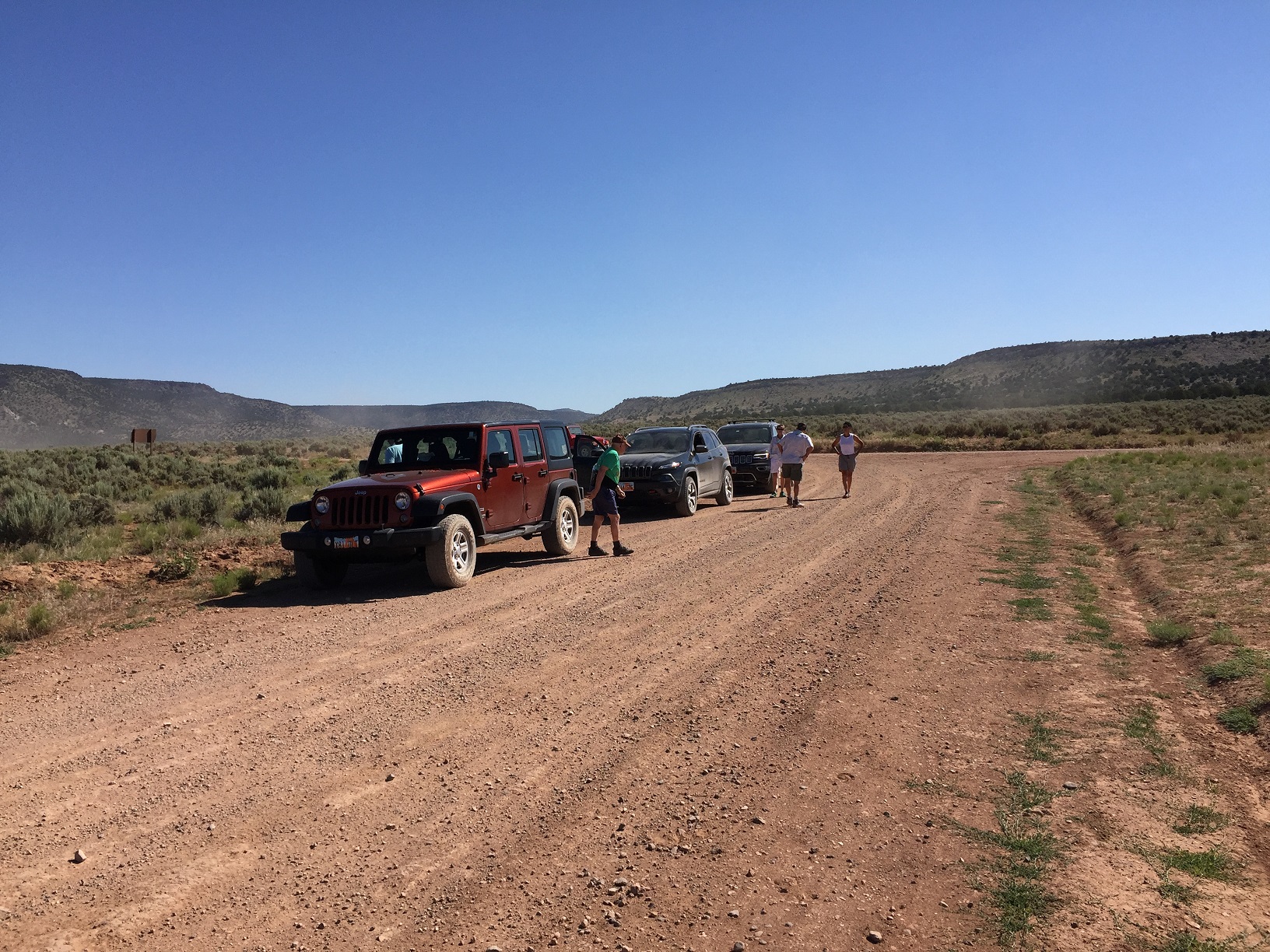
Photo of the cars lined up at the intersection of BLM Road 1069 and Mohave County Road 101 on the Arizona Strip.
They had just turned off of BLM Road 1069 southbound onto Mohave County Road 101 southwest bound and are waiting for the rest of the group before proceeding.
At the point labeled "B" on the trip map.
Photo taken 6/22/2017 at 10:11 am MDT on a Dixie Arizona Strip Interpretive Association (DASIA) field trip
by George Cannon and contributed by him on 7/22/2017.
The camera is facing northeast and is located at 36° 44' 50.58" North Latitude, 113° 32' 49.11" West Longitude.