WASHINGTON COUNTY HISTORICAL SOCIETY (Washington County, Utah)
WASHINGTON COUNTY HISTORICAL SOCIETY PHOTO COLLECTION
Photo WCHS-03264
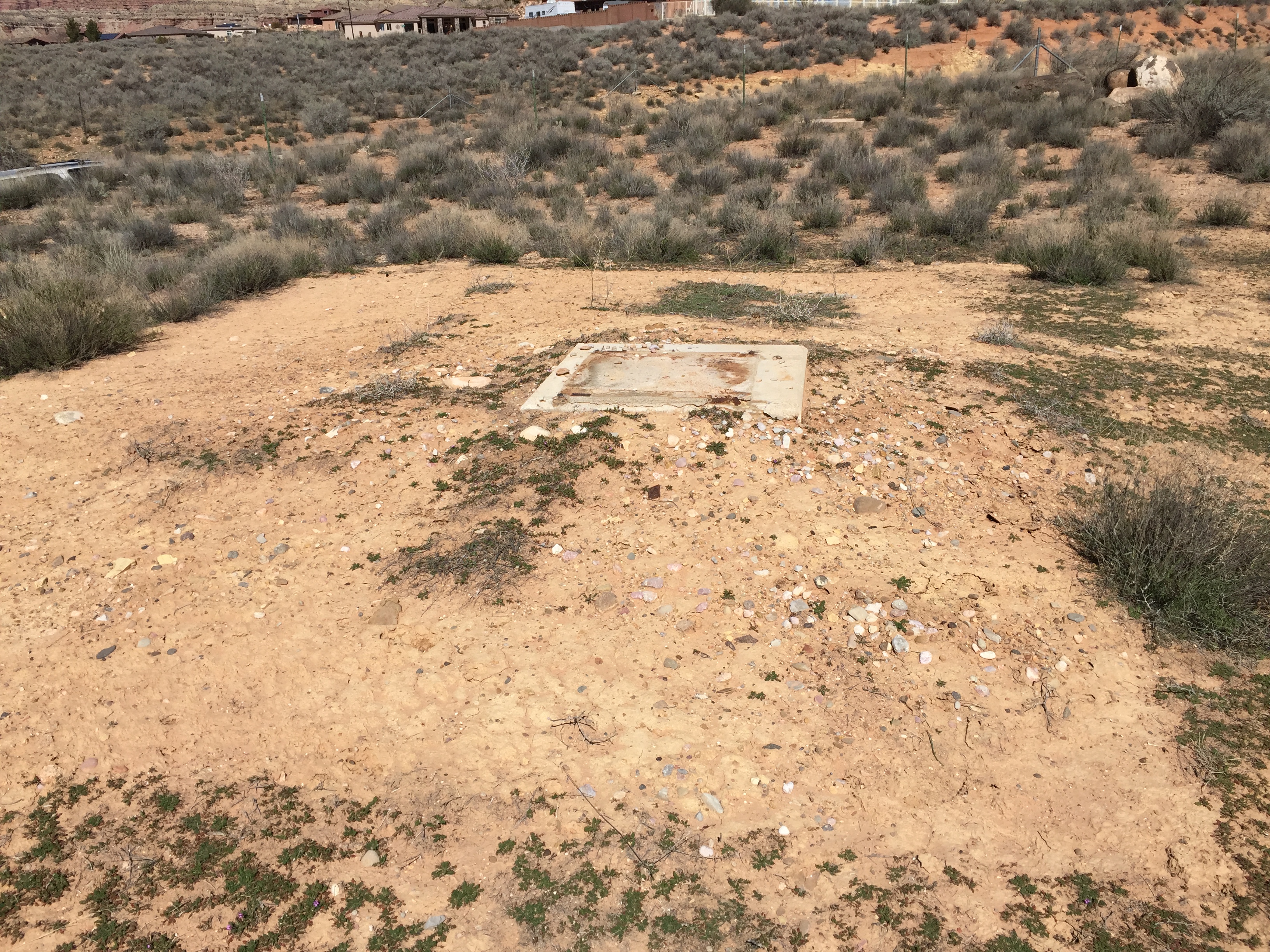
Photo of the area where an unidentified structure once stood, just east and north of the new
Sheep Bridge Road Bridge.
For related photos, see WCHS-03261, WCHS-03262, and WCHS-03263.
If you know anything about the history of this foundation, please contact us at info@wchsutah.org
or by clicking on the Page Feedback link on the left side of this webpage.
Photo taken 3/7/2017 at 12:05 pm by George Cannon and contributed on 3/13/2017.
The camera is facing north.
GPS coordinates of the camera: 37° 11' 58.53" North Latitude, 113° 12' 41.87" West Longitude