WASHINGTON COUNTY HISTORICAL SOCIETY (Washington County, Utah)
WASHINGTON COUNTY HISTORICAL SOCIETY PHOTO COLLECTION
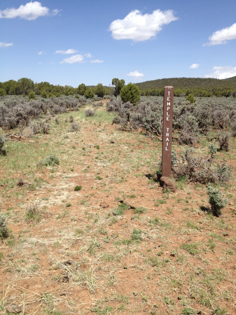
Photo WCHS-02363

Photo of a BLM marker and a segment of the original Temple Trail.
Located at:
36° 26' 22.50" North Latitude, 113° 9' 28.08" West Longitude
36.4396° North Latitude, 113.1578° West Longitude
6,220 feet (1,896 meters) MSL
Photo taken by George Cannon on 5/6/2014 and contributed 5/13/2014.