WASHINGTON COUNTY HISTORICAL SOCIETY (Washington County, Utah)
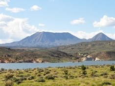
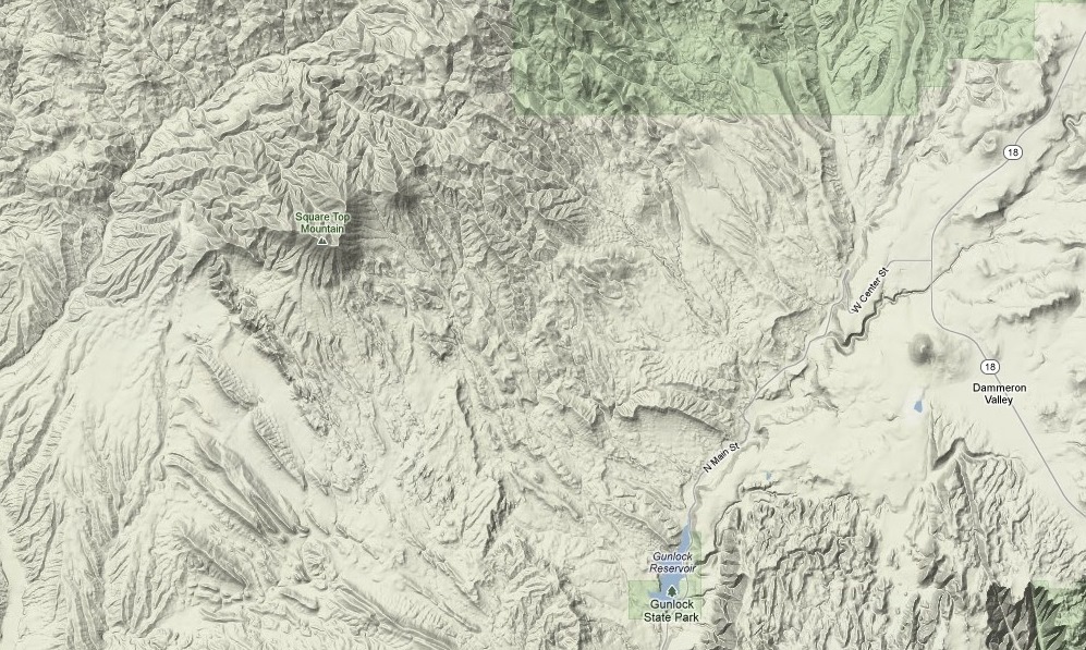
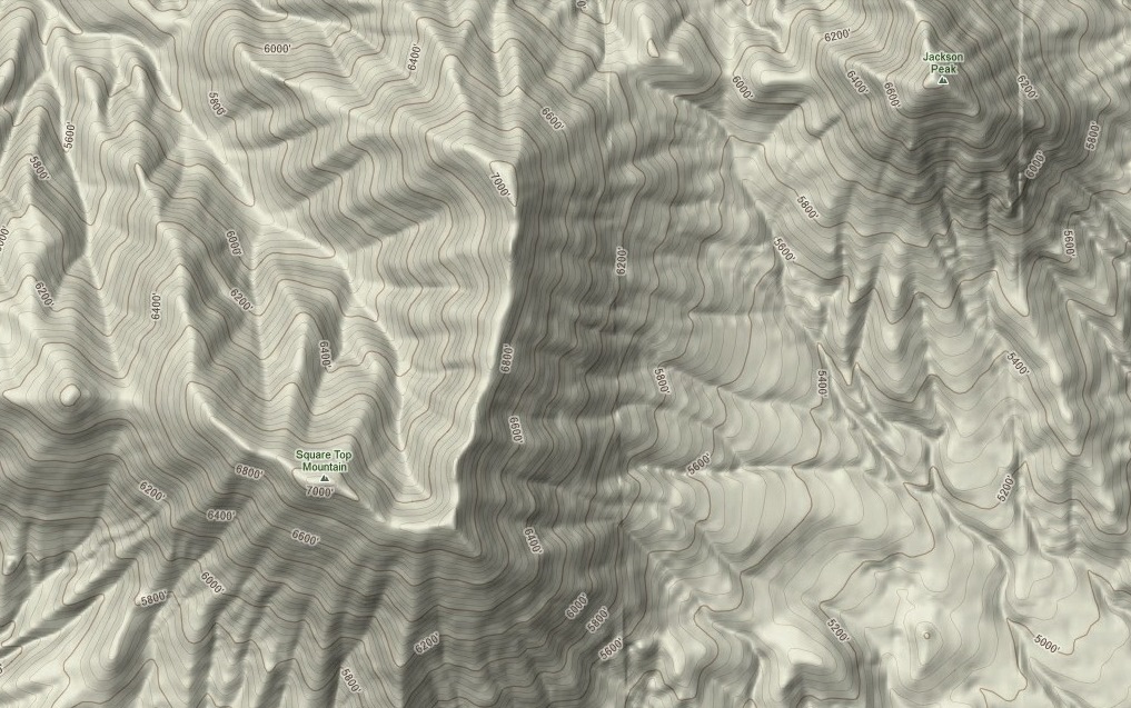
SQUARE TOP MOUNTAIN
Washington County, Utah
LOCATION
8.25 miles northwest of Gunlock Reservoir1.57 miles southwest of Jackson Peak
37° 20' 35" North Latitude, 113° 53' 7" West Longitude
7,050 feet (2,148 meters) MSL
DESCRIPTION
TBDHISTORY
On April 11, 1983, an Air Force B-52G bomber crashed about 1,200 feet below the peak of Square Top Mountain.PHOTOS
TBDOther photos on the web:
Compilation of Square Top Mountian photos