
WASHINGTON COUNTY HISTORICAL SOCIETY (Washington County, Utah)
PILOT PEAK
Washington County, Utah
LOCATION
5.98 miles on the 218° radial from the center of Enterprise, Utah.37° 30' 18.95" North Latitude, 113° 47' 7.44" West Longitude
37.5053° North Latitude, 113.7854° West Longitude
6,876 feet (2,096 meters) MSL
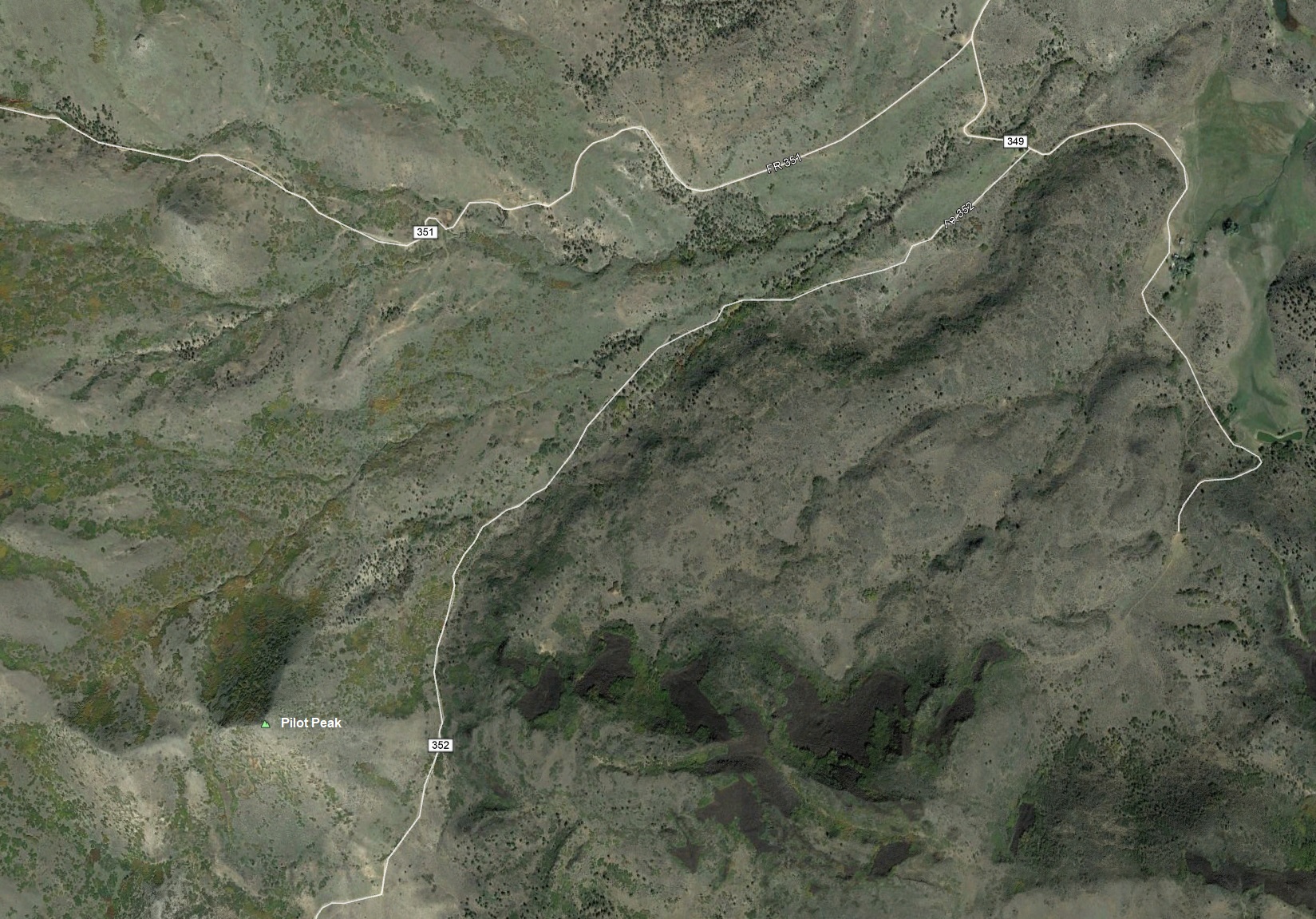
For a closer in view, click here For a broader view, click here
For a topographic map, click here
DESCRIPTION
TBDHISTORY
Pilot Peak was named by John C. Fremont in 1845. It appears on maps well before and has nothing to do withaviation. Enterprise Pilot Peak was used as a signaling location for mirror transmission during the mapping of
southern Utah.