WASHINGTON COUNTY HISTORICAL SOCIETY (Washington County, Utah)
NAMPAWEAP
Arizona Strip, Arizona
LOCATION
The Nampaweap trailhead is at36° 21' 20.28" North Latitude, 113° 7' 11.43" West Longitude
37.3556° North Latitude, 113.1198° West Longitude
6,207 feet (1,892 meters) MSL
DESCRIPTION
The Nampaweap Petroglyph site (Billy Goat Canyon) is one of the largest sites on the Arizona Strip and ismanaged by the BLM in St. George Utah. The site is 1/2 mile long and contains thousands of individual
rock art elements on hundreds of boulders.
Nampaweap means "foot canyon" in Paiute. This canyon may have been an important prehistoric travel corridor
from the Grand Canyon to the resources of the ponderosa pine country around Mt. Trumbull.
HISTORY
TBDPHOTOS

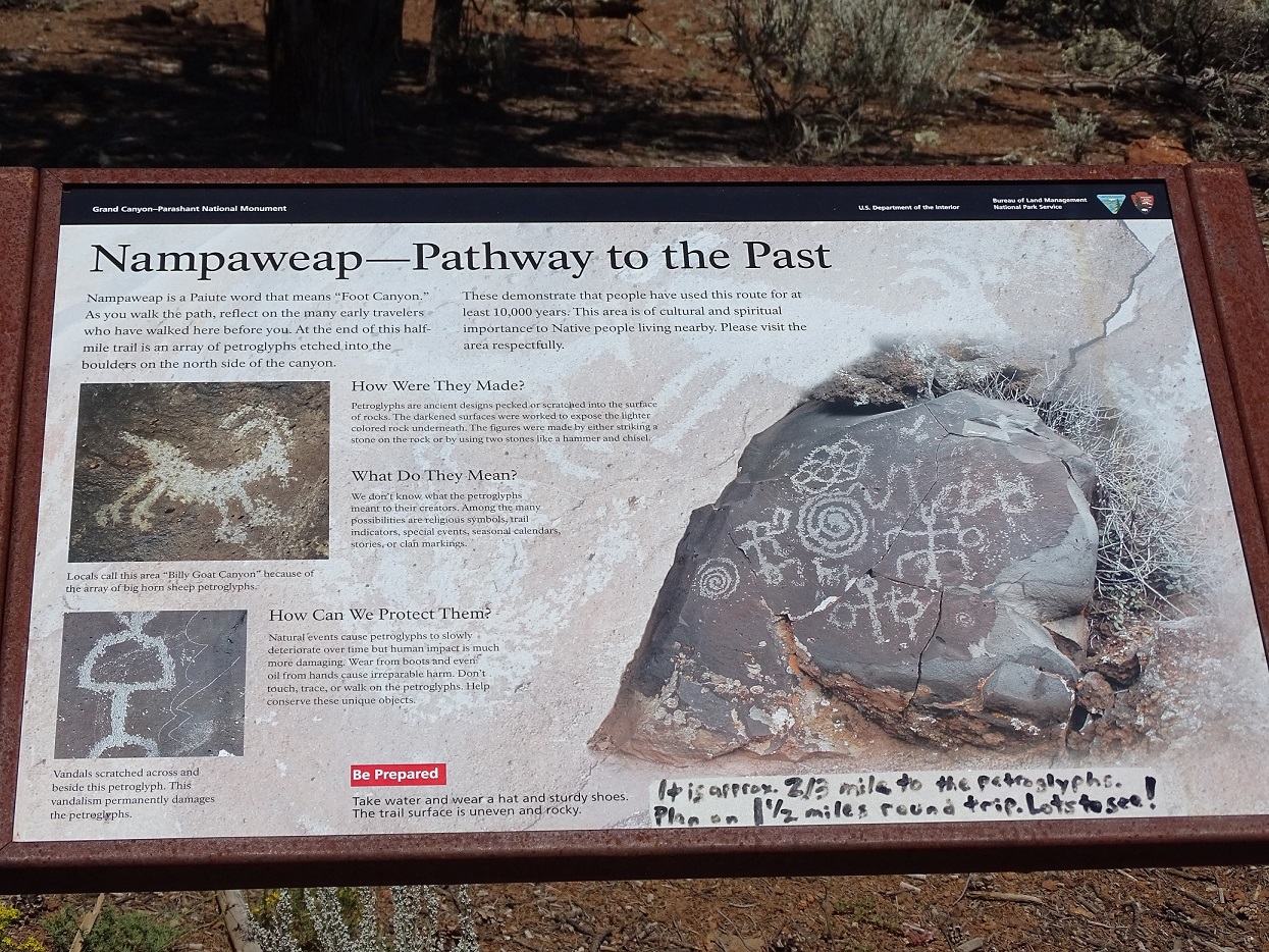
WCHS-03494 The "Nampaweap - Pathway to the Past" sign at the Nampaweap trailhead
WCHS photos:
WCHS-03495 Photo of people walking down the Nampaweap trail on the Arizona Strip
WCHS-03496 Photo of Greg Woodall pointing out a feature at Nampaweap on the Arizona Strip
WCHS-03497 Photo of some petroglyphs at Nampaweap on the Arizona Strip
WCHS-03498 Photo of some petroglyphs at Nampaweap on the Arizona Strip
WCHS-03499 Photo of petroglyph at Nampaweap on the Arizona Strip
WCHS-03500 Photo of some petroglyphs at Nampaweap on the Arizona Strip
WCHS-03501 Photo of a grotto in a small canyon at Nampaweap on the Arizona Strip
REFERENCES
Welcome to NampaweapNampaweap Petroglyphs
Nampaweap Site Photo Gallery
Nampaweap 2
Nampaweap Petroglyph Site 10.15.12
Nampaweap Rock Art Grand Canyon-Parashant National Monument
Nampaweap Rock Art Site, Arizona Strip, AZ
Video: Petroglyphs at Nampaweap and Paiute Cave