WASHINGTON COUNTY HISTORICAL SOCIETY (Washington County, Utah)
ENTERPRISE AIRPORT
Beryl Junction, Utah (outside Washington County boundaries)
LOCATION
Located north of Enterprise, it is in the current location of Beryl Junction, Utah
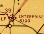
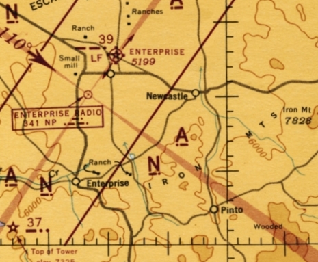 From a WW2 aeronautical chart (for a broader view, click here) |
Approach end (north end) of Runway 20 (196.7°)
37° 43' 13.10" North Latitude, 113° 38' 20.73" West Longitude 37.72042° North Latitude, 113.63906° West Longitude Altitude: 5,179 feet (1,579 meters) MSL Approach end (south end) of Runway 2 (16.3°) 37° 42' 29.04" North Latitude, 113° 38' 36.78" West Longitude 37.70812° North Latitude, 113.64358° West Longitude Altitude: 5,189 feet (1,582 meters) MSL |
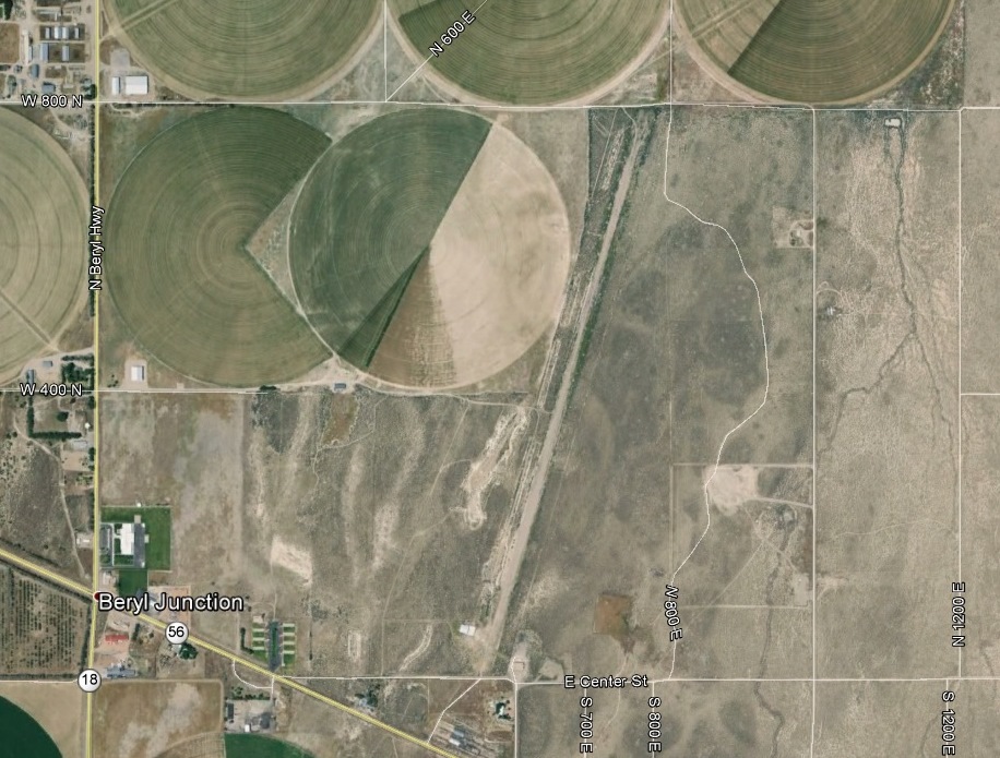
Modern aerial view of the airport and its surrounding area
HISTORY
The Enterprise Airport was active during World War 2.The airport is now inactive, but there are still remnants of the runway and building.