WASHINGTON COUNTY HISTORICAL SOCIETY (Washington County, Utah)
HAMBLIN, UTAH
(aka Fort Hamblin)
LOCATION
37° 32' 37.68" North Latitude, 113° 36' 23.53" West Longitude37.5438° North Latitude, 113.6065° West Longitude
5,871 feet (1,789 meters) MSL
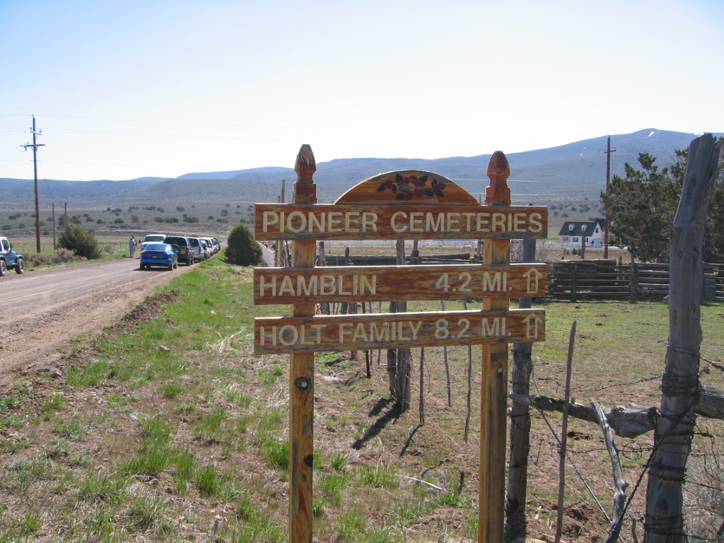
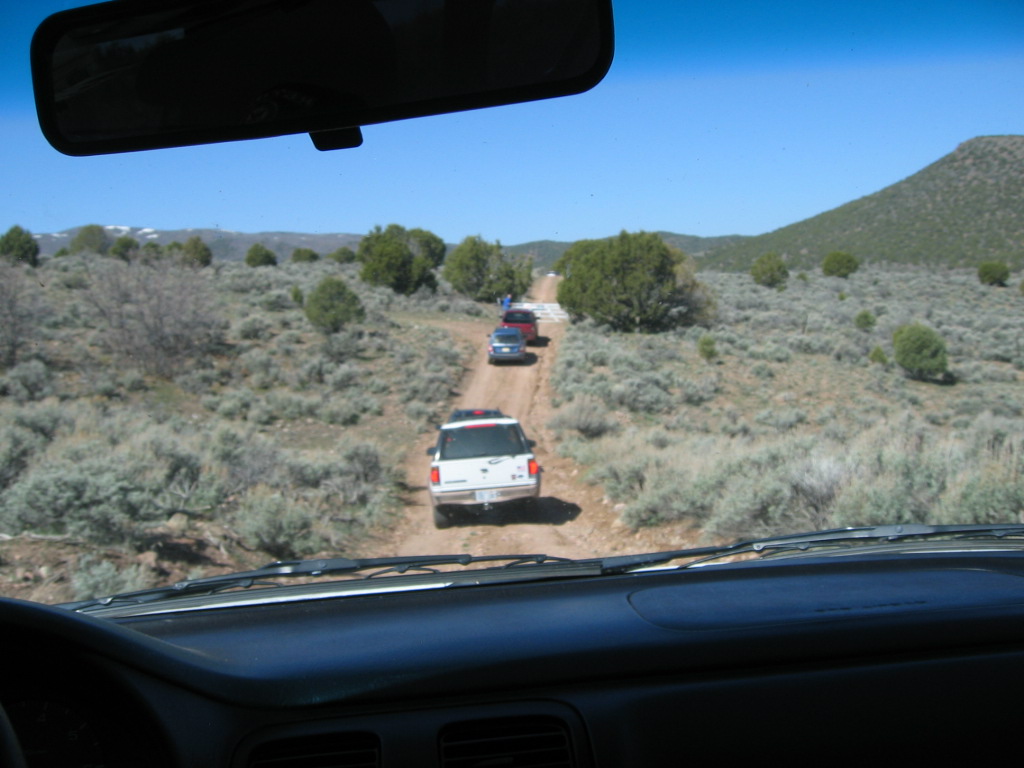
Take a dirt road heading east off of State Highway 18 around Mile Marker 34. There are signs leading to the Hamblin Cemetery.
The town site is about a mile northeast of the cemetery.
Aerial Map
Topographic Map
HISTORY
Jacob Hamblin started a ranch and built a house for his family in 1856 near Mountain Meadows. As other settlers built homes in the area, the townbecame known as Hamblin. Others included Hamblin's two brothers, Dudley, Leavitt, as well as Jacob Mica Truman, Edwin Westover, Milo Andrus,
David Canfield, John Day, and James Holt. Hamblin was primarily a supply stop for people traveling along the Old Spanish Trail. The facilities for
ranching were good as well as farming land due to the local springs. Drinking water was procured from a clear spring on a hill above the village
while the irrigation water came from lower springs. Their homes were built close together along one street with the church and school at the far end.
They made butter and cheese and sold what they could not use to the immigrant trains which passed by on the old spanish trail on their way to
California. The town site was surveyed in 1873. Richard Gibbons was the first presiding elder of this branch of the Mormon Church. The
overgrazing, flooding of the gullies and valley and loss of lower springs water caused the people to leave, many going to Enterprise. Jacob Hamblin
received an Indian mission call from Brigham Young and left for Fort Kanab with his family in 1869. By 1905 the village had all disappeared. Hamblin
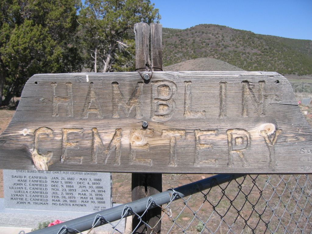
Cemetery and a few foundations of homes are all that remains in this pioneer town.
Residents:
Note: This information should be taken with a grain of salt; it is only a casual collection of names; updates and corrections are solicited.
Milo Andrus
J. S. P. Bowler
David & Elizabeth Canfield
James & Esther Ella Canfield
Lyman & Libby Canfield
Pratt & Laura Canfield
Mary Ann Cottam
John & Lucy Philena Day
Simpson Emett
Richard Gibbons
Dudley Hamblin
Jacob Hamblin
Leavitt Hamblin
George A. Holt
James Holt
Ben Morris & family
Sara Meeks Morris
George & Rebecca Sinfield
Jacob Mica Truman
Edwin R. Westover
Frank & Erma Wyatt
PHOTOS
 WCHS-00078 Road to Hamblin & Pinto just off Hwy 18 |
 WCHS-00079 Pinto Road at the Hamblin turnoff |
Other photos on the web:
Photo of a stone marker at the Hamblin Cemetery telling about the history of the town
Photo of a Hamblin Township marker
5/20/1942 photo of Lamont Tueller (Iron County Agricultural Agent) inspecting silvicultural practices, raising crested wheatgrass,
in the Hamblin Valley.
10/1/2006 photo of power lines near the old Hamblin town site
10/1/2006 photo of the Hamblin Town Site sign
10/1/2006 photo of the road between Hamblin and Enterprise
10/1/2006 photo of Road 769 as it approaches Hamblin
REFERENCES
A history of HamblinA history of Hamblin
A history of Hamblin and it's cemetery
A history of Hamblin from a marker in the cemetery
Ghost town directory
A history of Jacob Hamblin
Sons of Utah Pioneers Hear of Ghost Towns
"The Ghost Town of Hamblin, Washington County, Utah"
Unpublished article by Grace M. Twitchell
Washington County Chapter, Daughters of the Utah Pioneers, " Under Dixie Sun".
1950 with 1978 Supplement.
Page 119-120, Supplement Page 11.
Southern Utah Memories: Cemetery and historical marker are main reminders of Hamblin ghost town site
by Loren R. Webb, May 3, 2013