WASHINGTON COUNTY HISTORICAL SOCIETY (Washington County, Utah)
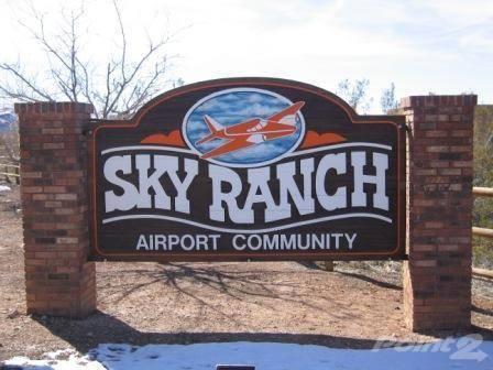
GRASSY MEADOWS SKY RANCH AIRPARK (UT47)
Hurricane, Utah
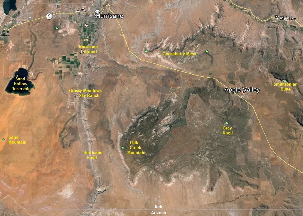
LOCATION
4 miles south of the town of Hurricane37° 06' 6.939" North Latitude, 113° 18' 49.817" West Longitude
37.101928° North Latitude, 113.313838° West Longitude
Altitude: 3,350 feet MSL
DESCRIPTION
Runway 16/34 is 4,400 feet long and 50 feet wide, paved with asphalt, lightedSky Ranch Development Inc.
4060 South 1000 West
Hurricane, UT 84737-2608
(435)635-4460
Owner/Developer:
Grassy Meadows Airport, Inc.
c/o Michael Longley
P. O. Box 51
Hurricane, UT 84737
(435)635-4460
Airport Manager:
David Morrison
Grassy Meadows/Sky Ranch Landowners Association Airport
4210 South 1100 West
Hurricane, UT 84737
(435)635-4443
HISTORY
Developed by Michael Longley.The airport went operational on December 1, 1983.
PHOTOS
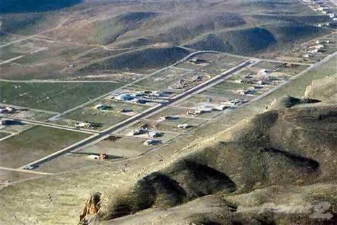 Looking Northwest |
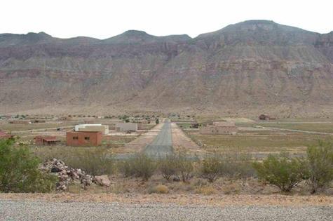 Looking Down the Runway |
REFERENCES
http://www.airnav.com/airport/UT47http://www.city-data.com/airports/Grassy-Meadows-Sky-Ranch-Landowners-Assn-Airport-Hurricane-Utah.html
http://www.skyranchairport.com/About.html
http://www.aviationhomes.com/gallery/view_album.php?set_albumName=album85
http://www.cometostgeorge.com/content/sky-ranch-hurricane-utah.html
http://www.trulia.com/property/photos/3035067630--Grassy-Meadows-Sky-Ranch-14-Hurricane-UT-84737#item-0