WASHINGTON COUNTY HISTORICAL SOCIETY (Washington County, Utah)
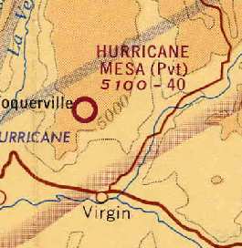
HURRICANE MESA AIRPORT (UT27)
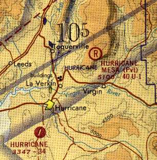
LOCATION
Located on the site of the Hurricane Mesa Test Facility.37.25° North Latitude, 113.21° West Longitude
HISTORY
Stanley Aviation Inc. leased the Hurricane Mesa Test Site from the mid-1960s to late-1970s. They built this airport with a 4,000 foot unpaved runway sometime between 1962 and 1965. It permitted their fleet of company airplanes to shuttle men and equipment between their Denver headquarters and the test site without having to go through the St. George or Hurricane airports. Runway 15/33 was extended to 5,000 feet paved with asphalt in 1975. It was still in operation as a private airport as of 2003, but has since been abandoned.PHOTOS
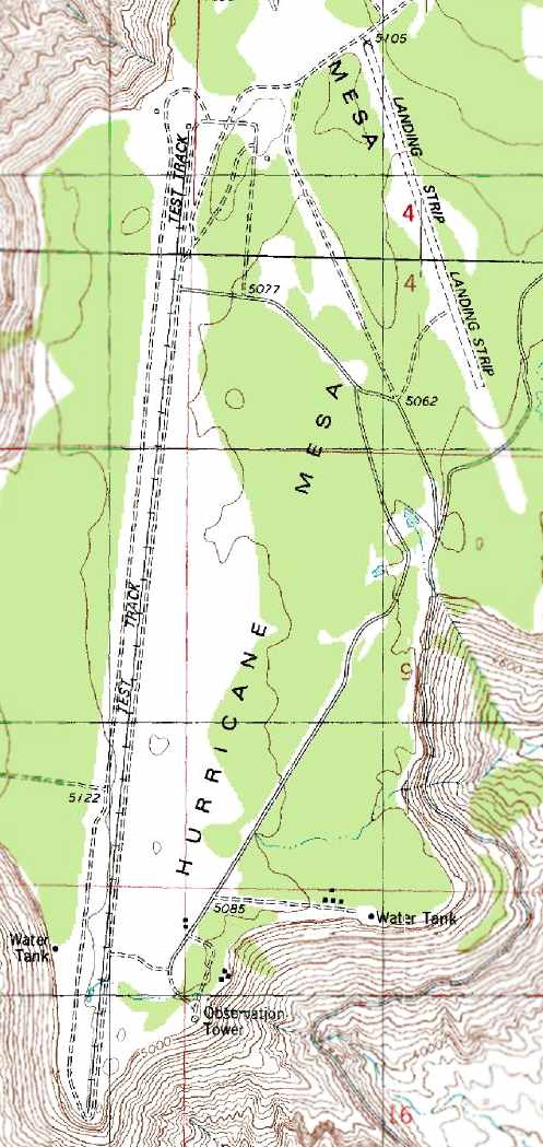 1980 USGS Topo Map |
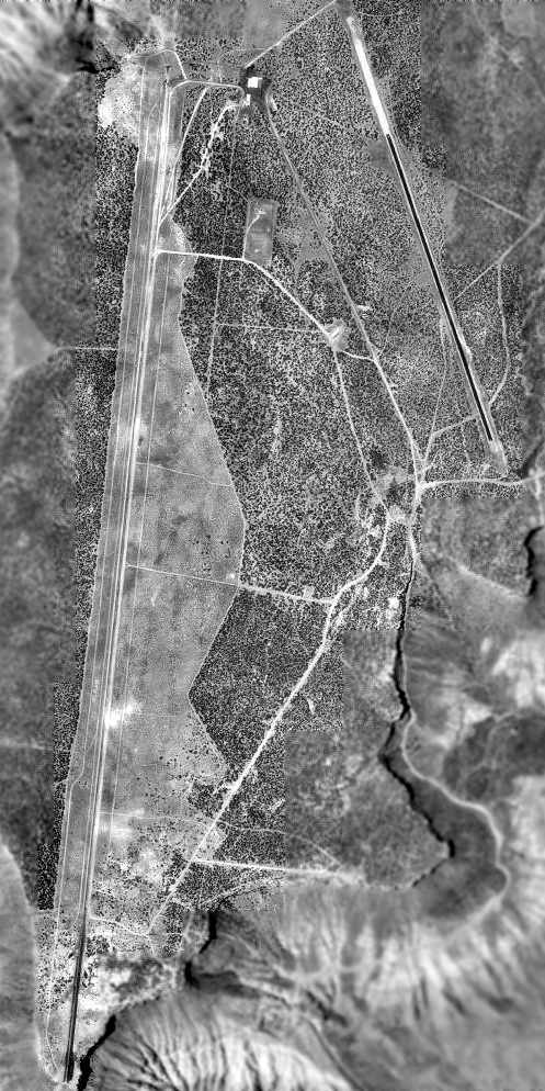 1993 USGS Aerial Photo |
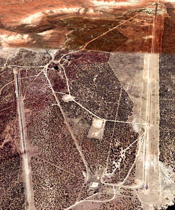 2006 Aerial Photo Looking South |
 1971 Las Vegas Sectional |