WASHINGTON COUNTY HISTORICAL SOCIETY (Washington County, Utah)
WOLF HOLE
Arizona Strip, Arizona
LOCATION
|
On the Mt. Trumbull Loop = BLM Road 1069
about 18 miles south of the UT/AZ border 36° 45' 32.95" North, 113° 32' 57.75" West 36.7592° North, 113.5494° West 5.013 feet (1,528 meters) MSL 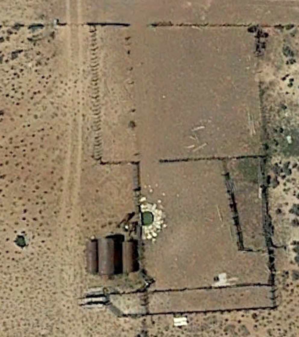
|
DESCRIPTION
TBDHISTORY
There was a post office from 1917 to 1928.PHOTOS
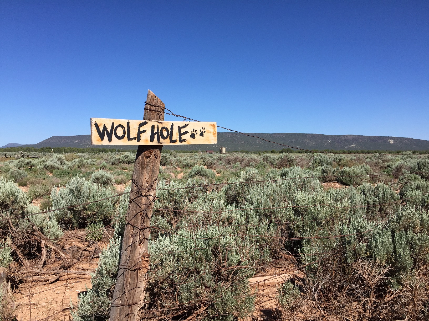
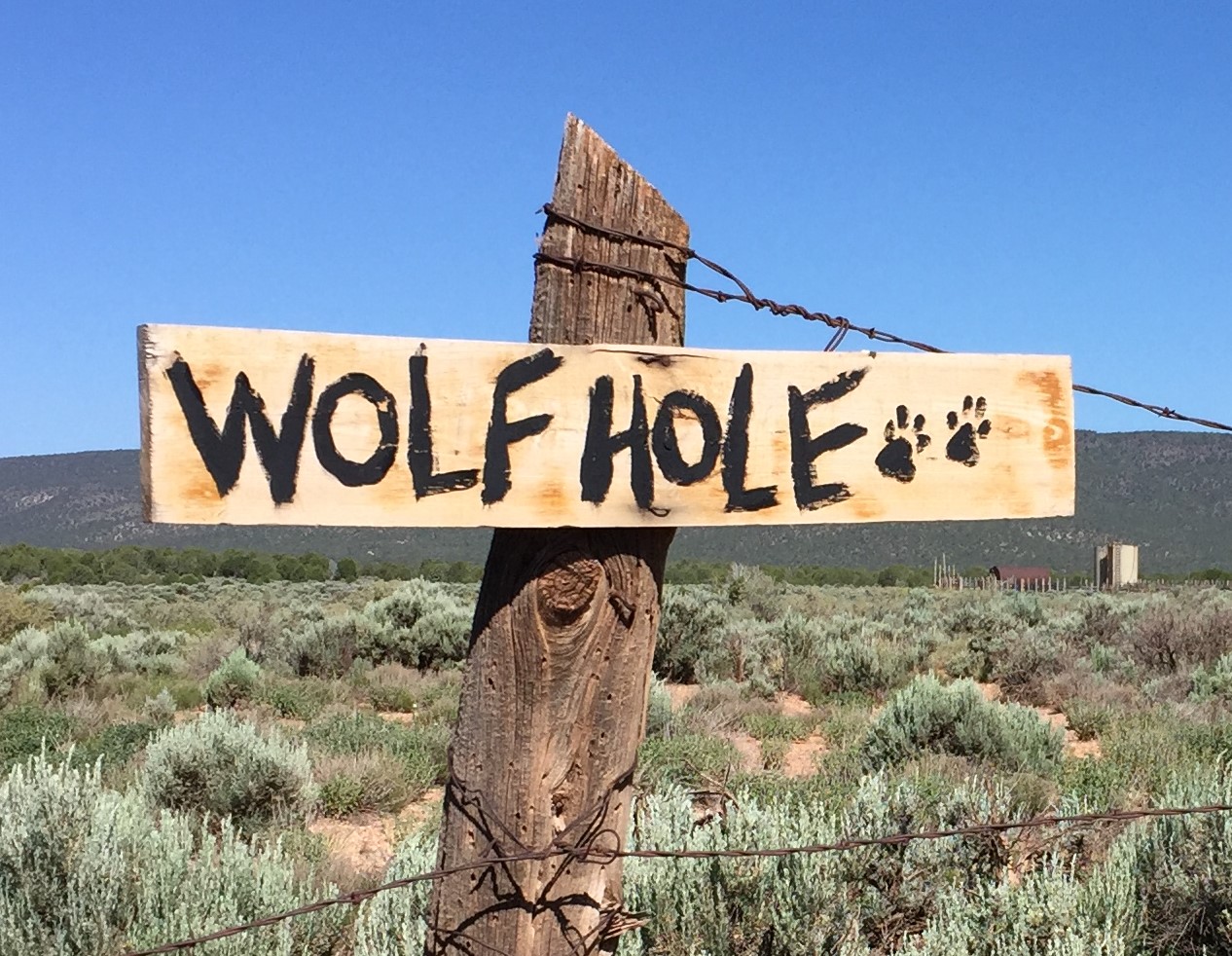
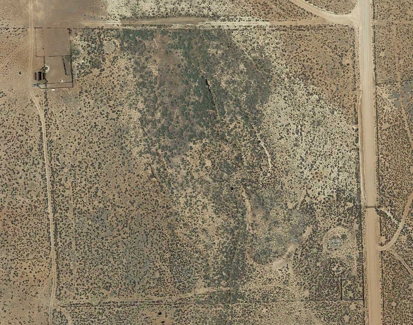
WCHS-03327 Photo of the Wolf Hole sign and property on the Arizona Strip
Other WCHS photos:
WCHS-03328 Photo of the Wolf Hole sign on a fence post
WCHS-03329 Photo of a wood post fence at Wolf Hole
WCHS-03330 Photo of two fence posts with the wire joining them
WCHS-04015 Photo of two men putting up a sign at Wolf Hole on the Arizona Strip
WCHS-04016 Photo of Jean & Ken Brown with the Wolf Hole sign they contributed
WCHS-04058 Photo of Jean Brown with the Wolf Hole sign she painted
REFERENCES
Wikipedia article on Wolf Hole, ArizonaGhosttowns.com article on Wolf Hole
Video of Kenneth J. "Ken" Brown talking about Wolf Hole (3:13)
Recorded 8/18/2018 at Wolf Hole