
WASHINGTON COUNTY HISTORICAL SOCIETY (Washington County, Utah)
BLACK KNOLLS RESERVOIR AND "HERNIA DAM"
LOCATION
37° 9' 20.98" North Latitude, 113° 34' 7.2437.1558° North Latitude, 113.5687° West Longitude
3,479 feet (1,060 meters) MSL
DESCRIPTION
TBDHISTORY
TBDPHOTOS
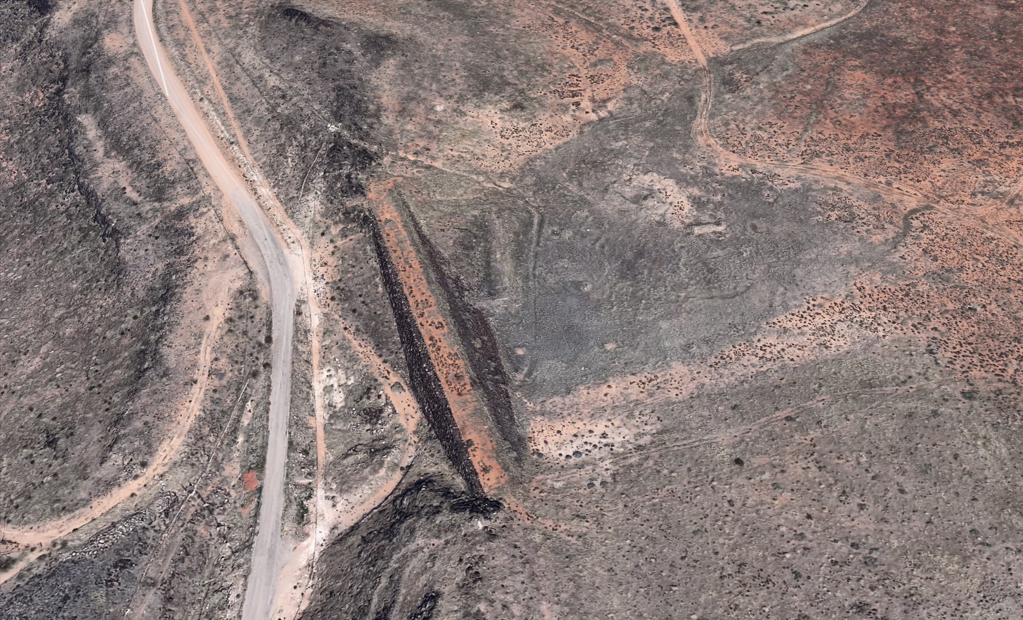
Aerial view of the Black Knolls Reservoir and the "Hernia Dam" (Click here to enlarge)
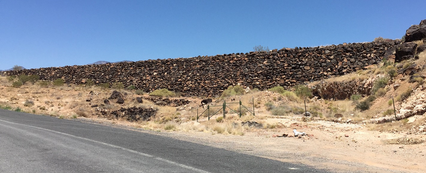
WCHS-03814 The "Hernia Dam" at the Black Knolls Reservoir (Click here to enlarge)
Other WCHS photos:
WCHS-03591 Photo of the "Hernia Dam" at Black Knolls Reservoir
WCHS-03815 Photo of the center of the Hernia Dam
WCHS-03816 Photo of the south end of the Hernia Dam
WCHS-03817 Photo of the Hernia Dam