WASHINGTON COUNTY HISTORICAL SOCIETY (Washington County, Utah)
VEYO ARCH BRIDGE
Veyo, Utah
LOCATION
|
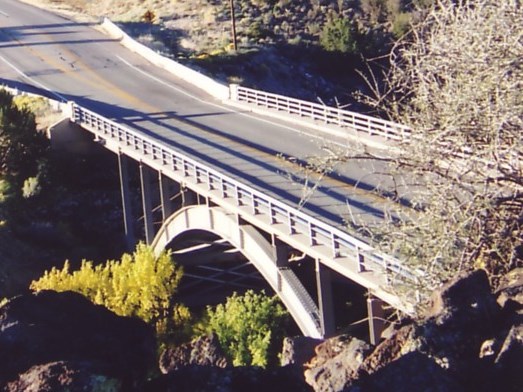
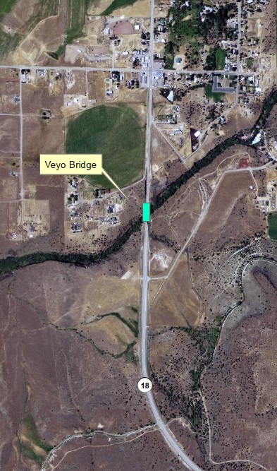
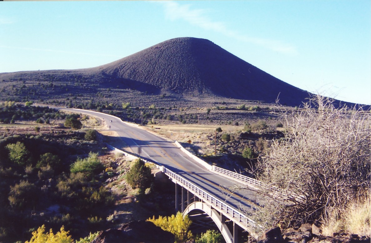
Located at milepost 19.7 on Highway 18 where it
crosses the Santa Clara River just south of Veyo. The bridge spans Crawdad Canyon. 37° 19' 54.77" North Latitude, 113° 41' 35.68" West Longitude 37.3318° North Latitude, 113.6932° West Longitude 4,393 feet (1,339 meters) MSL |
DESCRIPTION
Structure OC-293HISTORY
The Veyo Arch Bridge was built in 1957, replacing the Old Veyo Bridge.The bridge is currently in need of rehabilitation.
The Utah Department of Transportation (UDOT) is working on a $3,000,000
plan to repair the deficiencies and to extend the life of the bridge.
This bridge has been determined to be eligible for the National Register of Historic Places.
PHOTOS
WCHS-02962 Photo of the Veyo Arch Bridge
Other WCHS photos:
WCHS-02963 Photo of the Veyo Arch Bridge