WASHINGTON COUNTY HISTORICAL SOCIETY (Washington County, Utah)
OLD SHEEP BRIDGE ROAD BRIDGE
Virgin, Utah
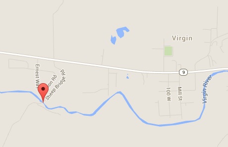
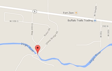
LOCATION
|
|
37° 11' 57.87" North Latitude, 113° 12' 44.19" West Longitude
37.1994° North Latitude, 113.2123° West Longitude
3,427 feet (1,045 meters) MSL
DESCRIPTION
TBDHISTORY
TBDPHOTOS
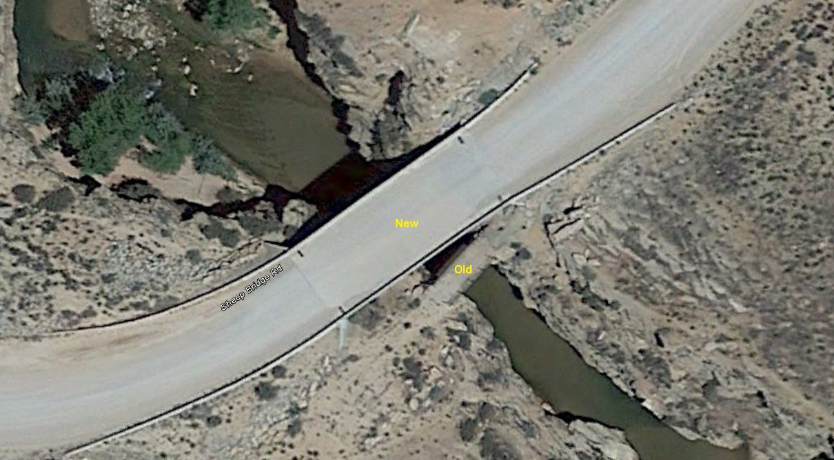
Aerial view of the old and new Sheep Bridge Road Bridges
View of the old and new Sheep Bridge Road Bridges (extracted from WCHS-03250)
WCHS photos:
WCHS-03248 Photo of the new Sheep Bridge Road Bridge
WCHS-03249 Photo of the new Sheep Bridge Road Bridge
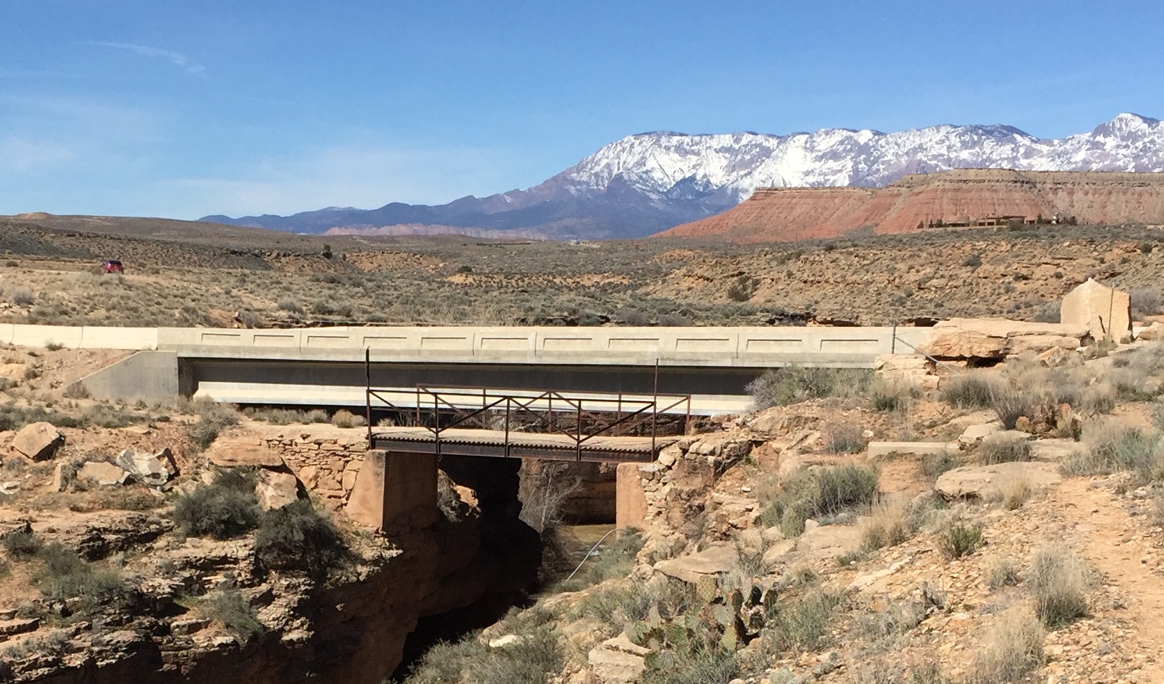
WCHS-03250 Photo of the old and new Sheep Bridge Road Bridges
WCHS-03251 Photo of the old and new Sheep Bridge Road Bridges
WCHS-03252 Photo of the old and new Sheep Bridge Road Bridges
WCHS-03253 Photo of the old and new Sheep Bridge Road Bridges
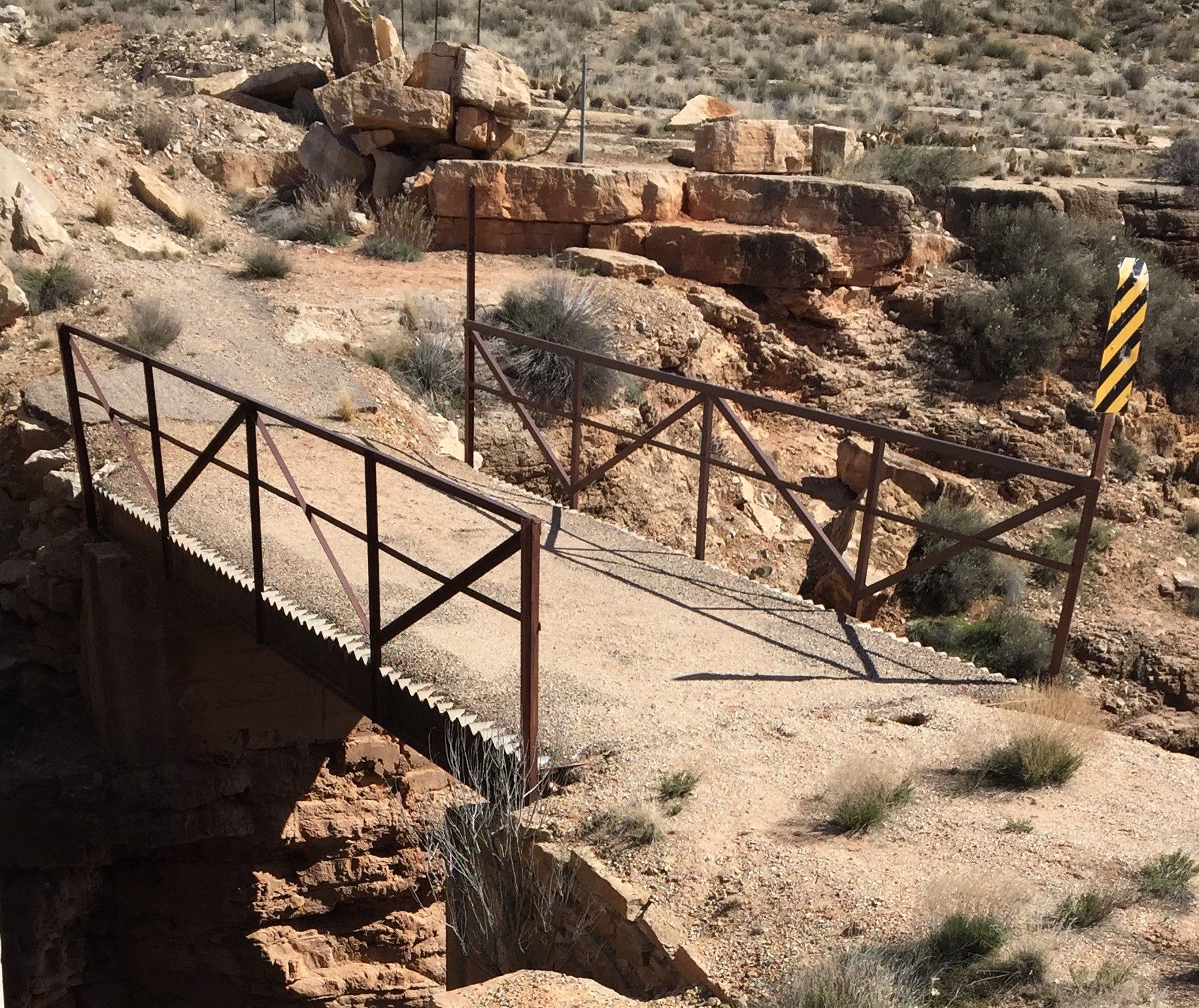
WCHS-03254 Photo of the old Sheep Bridge Road Bridge
WCHS-03255 Photo of the old Sheep Bridge Road Bridge
And for photos of the area just east of these bridges:
WCHS-03256 Photo of a short segment of the Virgin River
WCHS-03257 Photo of some concrete steps along the Virgin River
WCHS-03258 Photo of some concrete steps along the Virgin River
WCHS-03259 Photo of some concrete steps along the Virgin River
WCHS-03260 Photo of some concrete steps along the Virgin River
WCHS-03261 Photo of an empty man-made water pond
WCHS-03262 Photo of an empty man-made, cement-lined water pond
WCHS-03263 Photo of an empty man-made, cement-lined water pond
WCHS-03264 Photo of an area where an unidentified structure once stood