WASHINGTON COUNTY HISTORICAL SOCIETY (Washington County, Utah)
WASHINGTON COUNTY HISTORICAL SOCIETY PHOTO COLLECTION
Photo WCHS-03522
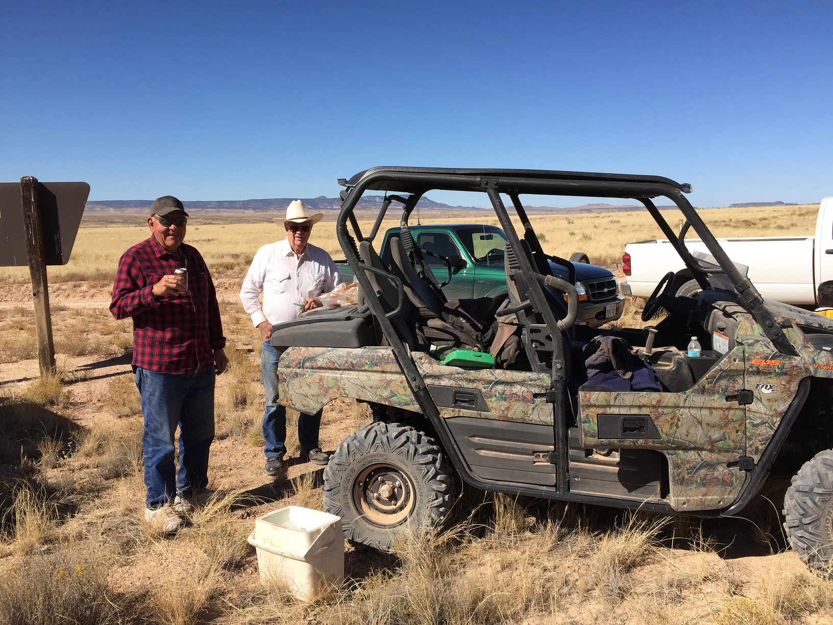
Photo of Ken Peterson (left) and Thad Stewart (right) setting up lunch on the tail of Thad's ATV
near the intersections of the Temple Trail and Navajo Trail (Mohave County Road 30).
Also see other field participants in WCHS-03521.
Photo taken by George Cannon at 12:57 pm MDT on 10/27/2017 on a Cotton Mission Chapter Sons of
Utah Pioneers field trip to explore the Temple Trail on the Arizona Strip and contributed by him on 11/5/2017.
The camera is facing northwest and was located at
36° 44' 44.50" North Latitude; 113° 17' 58.78" West Longitude.