WASHINGTON COUNTY HISTORICAL SOCIETY (Washington County, Utah)
WASHINGTON COUNTY HISTORICAL SOCIETY PHOTO COLLECTION
Photo WCHS-03444
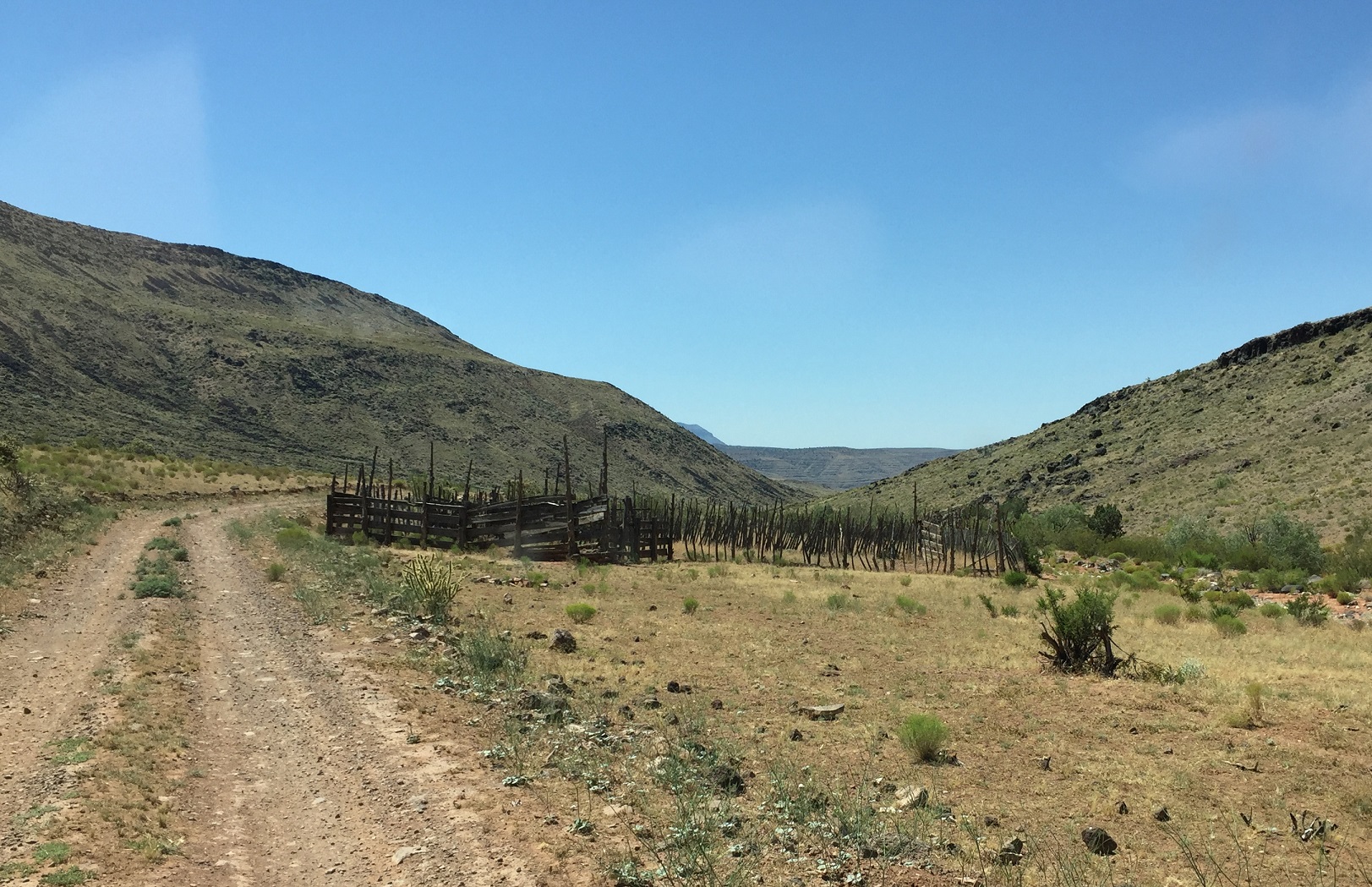
Photo of corral complex along BLM Road 1007 on the Arizona Strip.
For a slightly higher resolution and uncropped version of this photo, click here.
At the point labeled "F" on the trip map.
Photo taken 6/22/2017 at 11:41 am MDT on a Dixie Arizona Strip Interpretive Association (DASIA) field trip
by George Cannon and contributed by him on 7/22/2017.
The camera is facing south and is located at 36° 34' 43.42" North Latitude, 113° 46' 56.62" West Longitude.