WASHINGTON COUNTY HISTORICAL SOCIETY (Washington County, Utah)
WASHINGTON COUNTY HISTORICAL SOCIETY PHOTO COLLECTION
Photo WCHS-03270
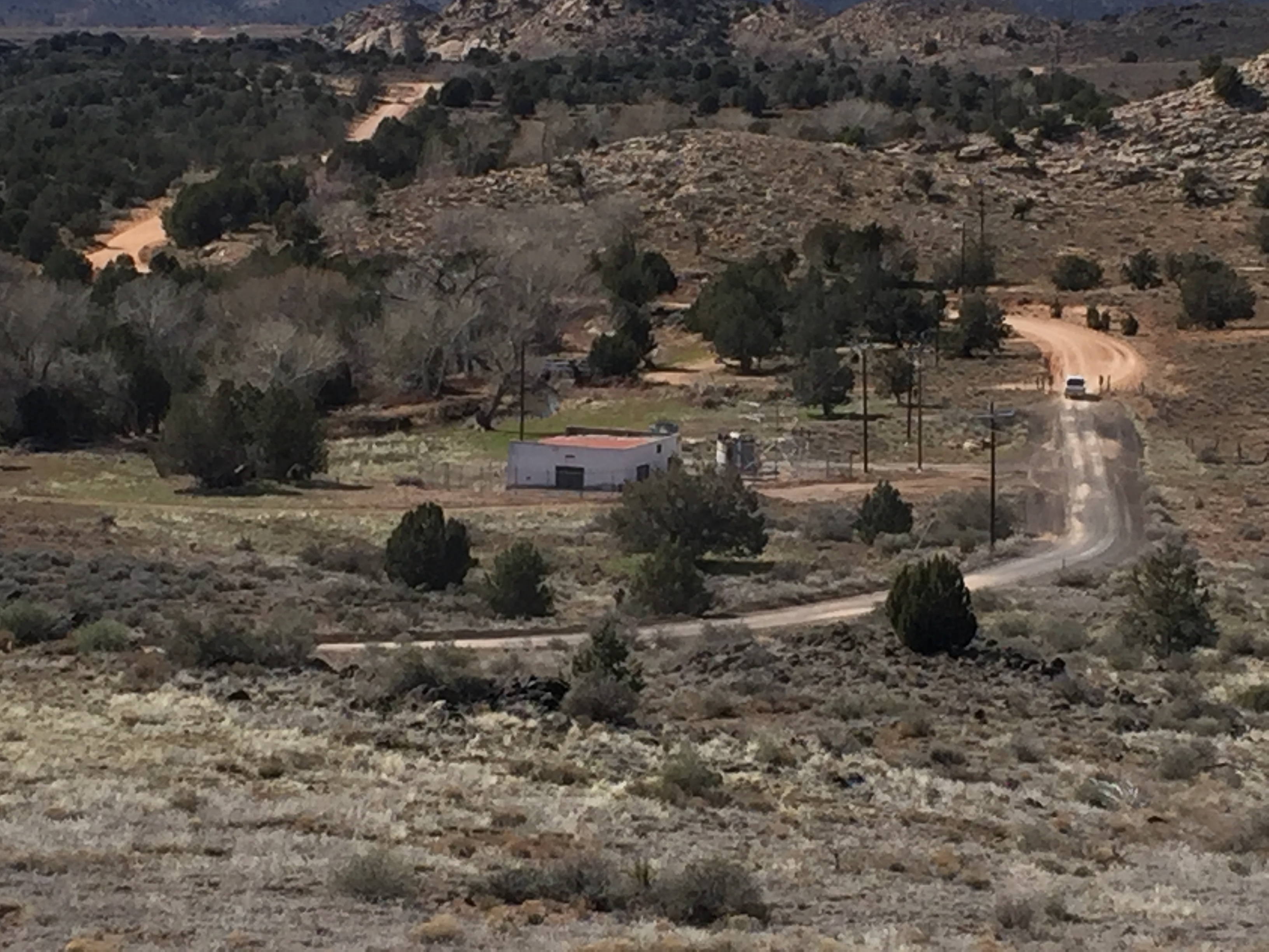
Photo of Lower Sand Cove Road running by Power Plant #3 between Dammeron Valley and Gunlock, Utah.
Photo taken 3/7/2017 at 2:34 pm by George Cannon and contributed on 3/13/2017.
The camera is facing west and is located at 37° 16' 50.73" North Latitude, 113° 43' 26.97" West Longitude.