WASHINGTON COUNTY HISTORICAL SOCIETY (Washington County, Utah)
GUNLOCK CEMETERY
Gunlock, Utah
LOCATION
??? N. Main Street (County Road 3184)Gunlock, UT 84733
37° 17' 26.52" North Latitude, 113° 45' 33.22" West Longitude
37.2907° North Latitude, 113.7592° West Longitude
3,687 feet (1,124 meters) MSL
HISTORY
This cemetery was originally on private property.The family that owned it, donated the property to the Gunlock Ward of the LDS Church.
When the church decided they should not be in the cemetery business, the property was transferred to ???.
This cemetery is currently managed very informally. Gail Humphries is the sexton. Maintenance is mostly done by community volunteer labor. Required funds are raised from the Gunlock rodeo.
PHOTOS
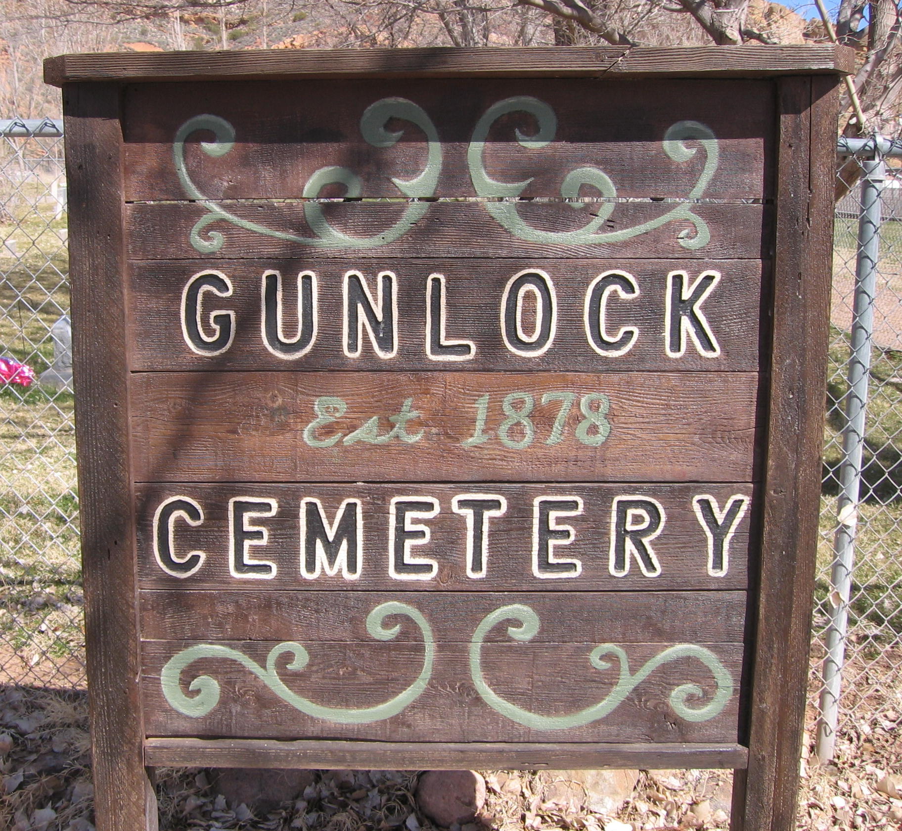
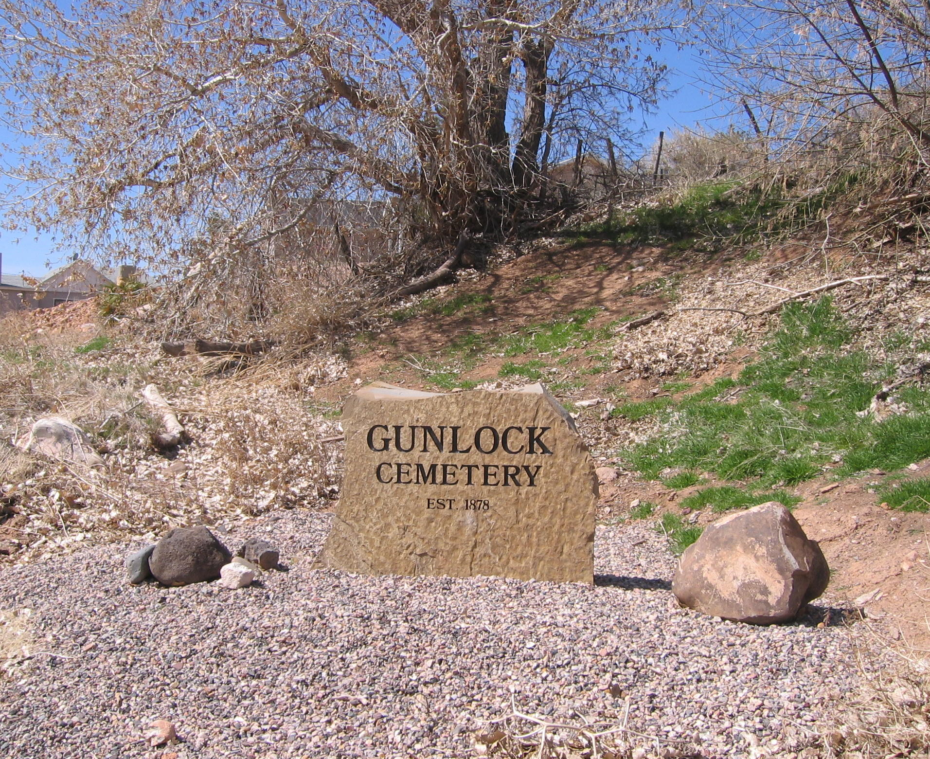 WCHS-00632 Cemetery sign out on Main Street |
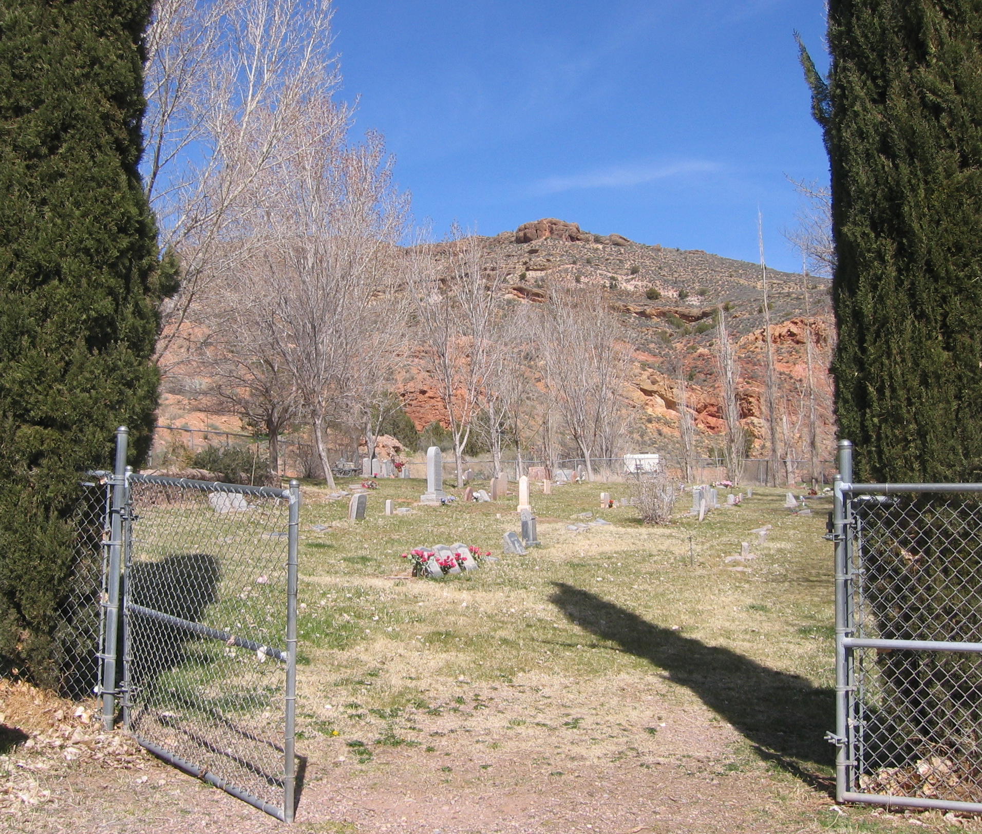 WCHS-00634 Main gate of the Gunlock Cemetery |
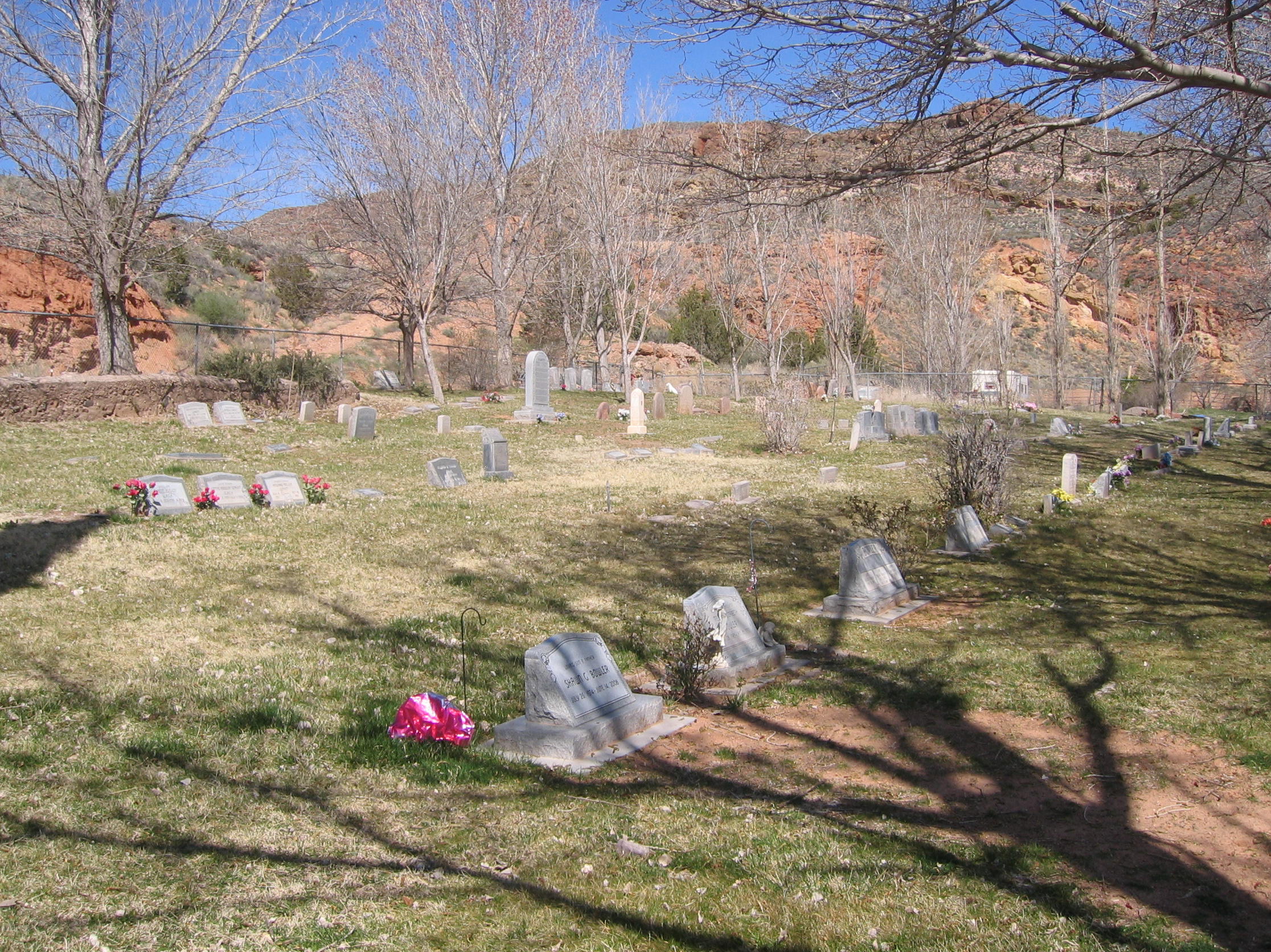 WCHS-00636 Gunlock Cemetery |
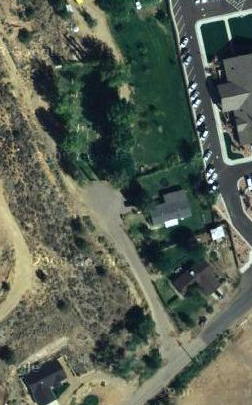 Aerial View of the Gunlock Cemetery |
Other WCHS photos:
WCHS-00635 Photo of the inside of the Gunlock Cemetery
WCHS-00637 Photo of the inside of the Gunlock Cemetery
WCHS-00638 Photo of the inside of the Gunlock Cemetery
WCHS-00639 Photo of the Jeremiah & Eliza monument in the Gunlock Cemetery
GRAVES
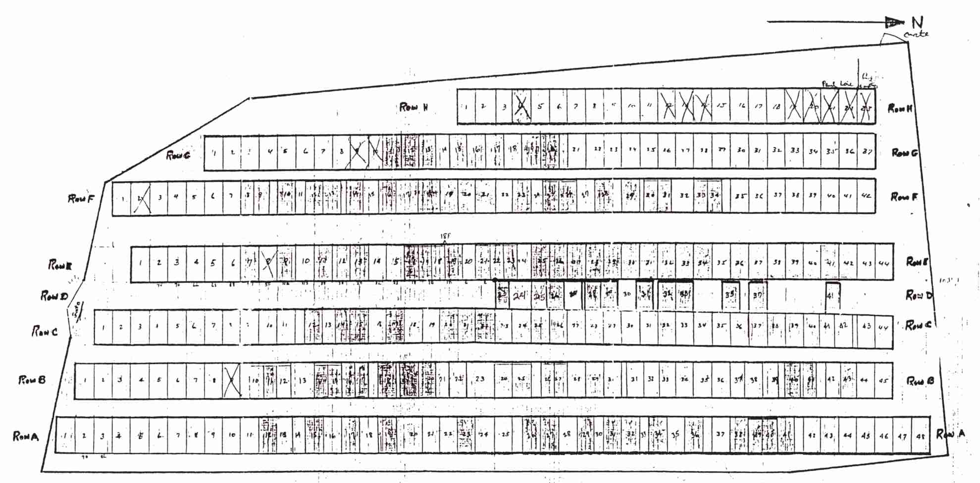
List of grave plots and burials
REFERENCES
Gunlock Cemetery Index from Find A GraveGunlock Cemetery Index from the Washington County, Utah Tombstone Project
"Gunlock Graveyards Tell a Story"
By Helen Gardener
The Daily Spectrum: Lifestyle, 1/3/1990, Page 6
This is an article about the three graveyards in Gunlock.