WASHINGTON COUNTY HISTORICAL SOCIETY (Washington County, Utah)
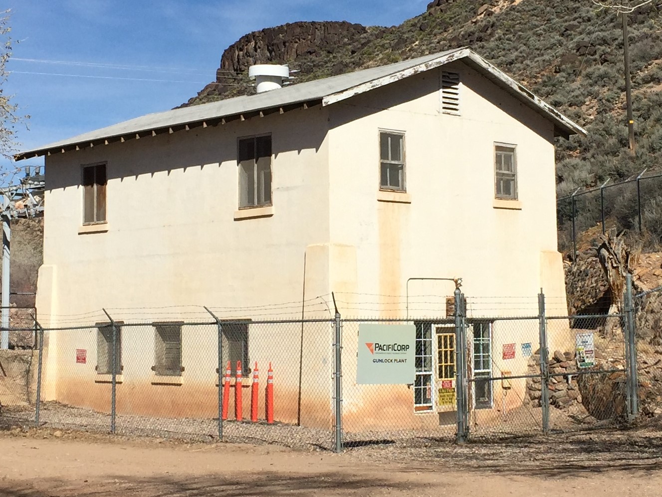
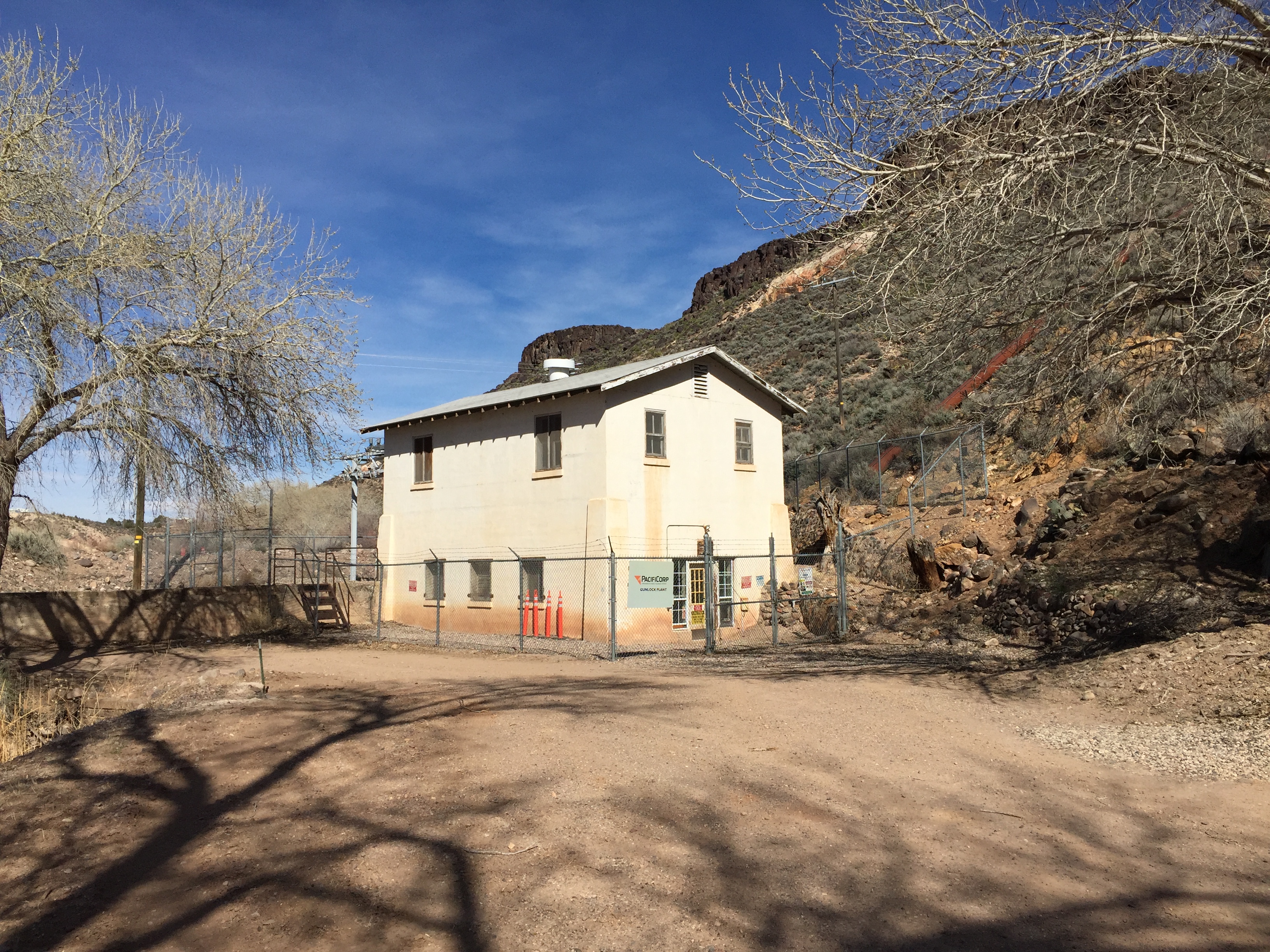
GUNLOCK HYDROELECTRIC POWER PLANT
(aka POWER PLANT #1)
Gunlock, Utah
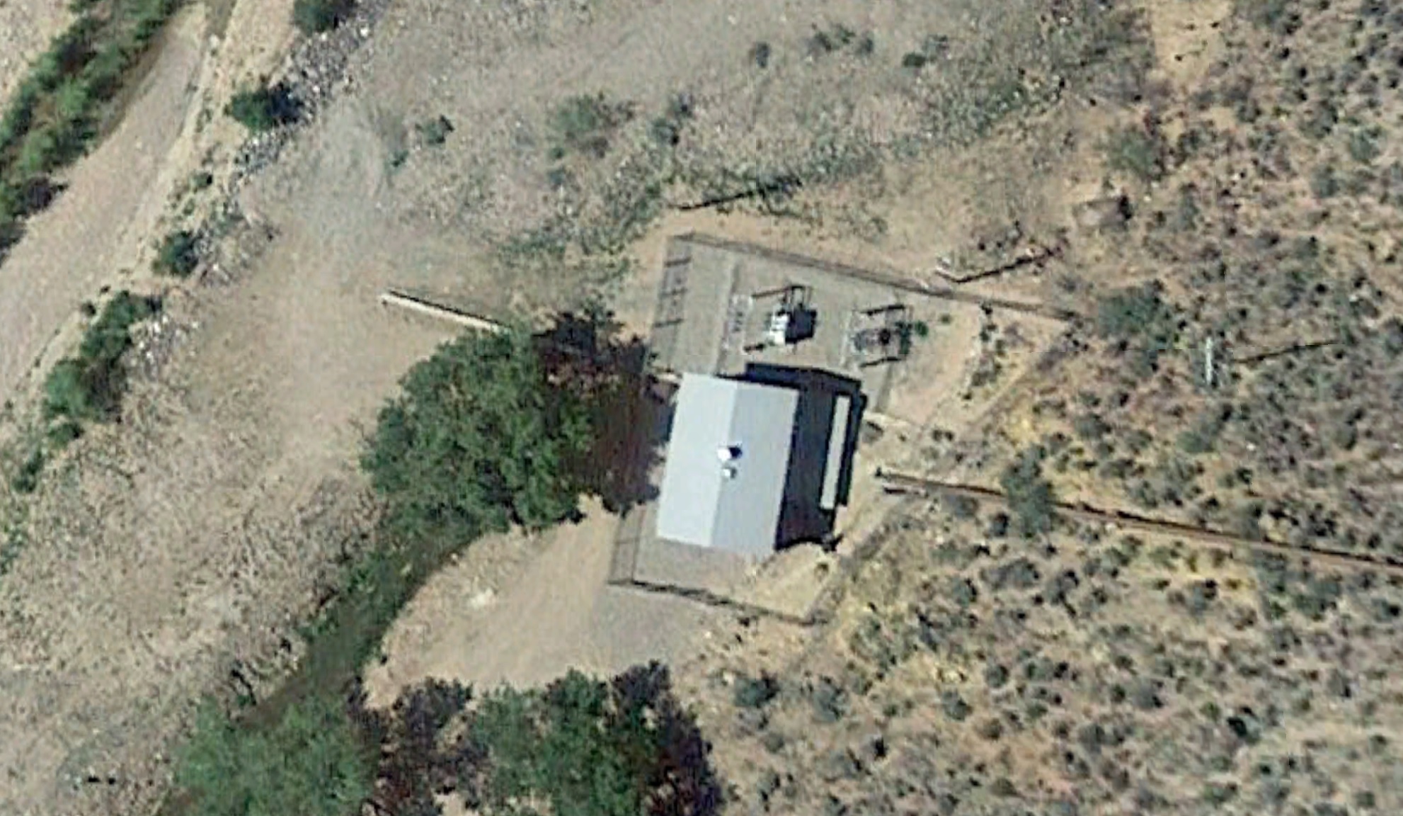
LOCATION
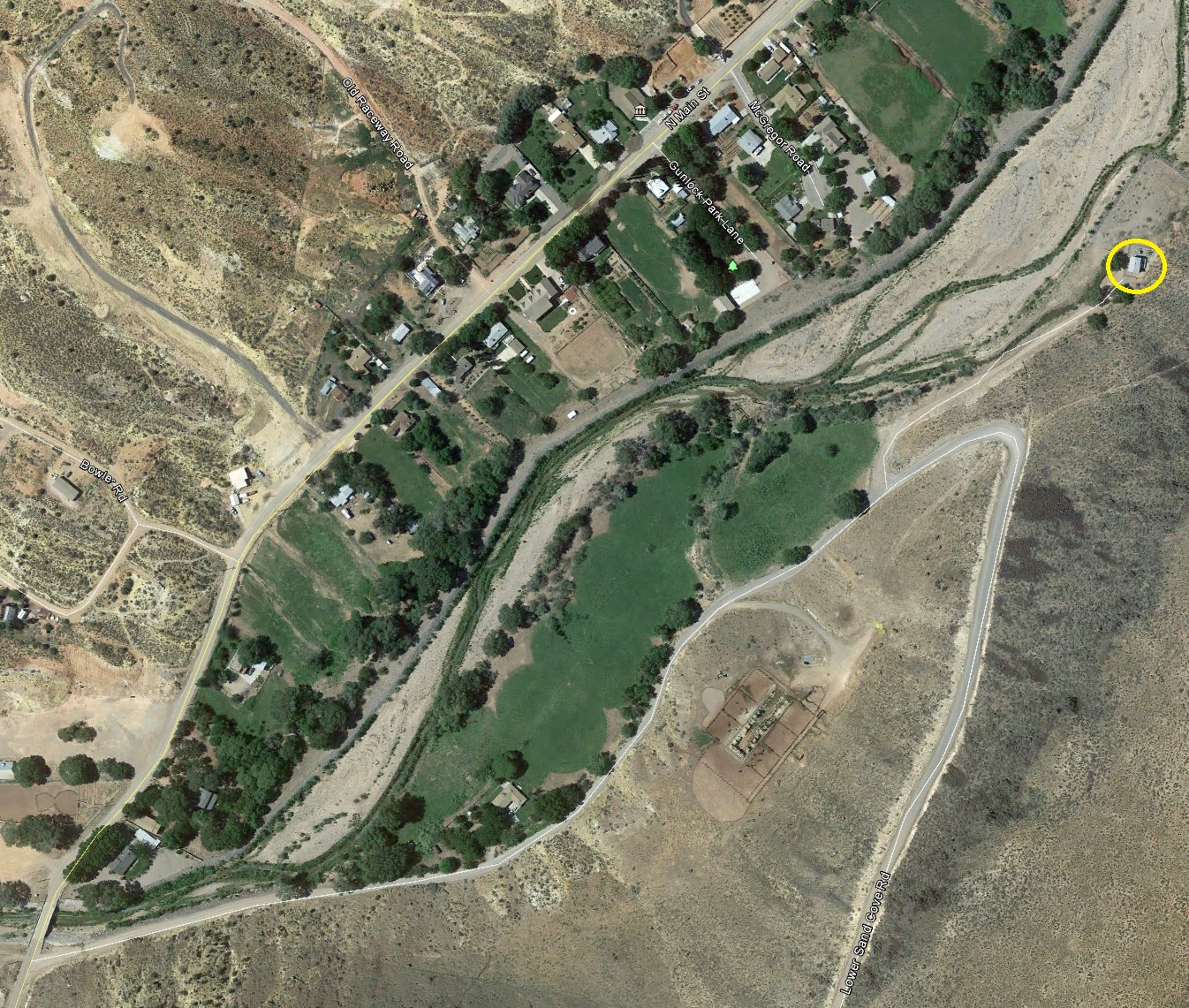
For a larger view, click here.
37° 17' 8.94" North Latitude, 113° 45' 31.13" West Longitude
37.28.58° North Latitude, 113.7586° West Longitude
3,664 feet (1,117 meters) elevation
HISTORY
TBDPHOTOS
WCHS-03280 Photo of Power Plant #1 in Gunlock
Other WCHS photos:
WCHS-02988 Photo of the Veyo Power Plant #1
WCHS-03279 Photo of Power Plant #1 in Gunlock, Utah
WCHS-03283 Photo of a home at the original location of Power Plant #1
WCHS-03318 Photo of the Gunlock Hydroelectric Powerhouse
WCHS-03319 Photo of the Gunlock Hydroelectric Powerhouse and an adobe shed
WCHS-03320 Photo of the input water pipe going down to the Gunlock Hydroelectric Powerhouse
WCHS-03321 Photo of an ancillary adobe shed at the Gunlock Hydroelectric Power Plant
REFERENCES
Santa Clara Hydroelectric Power Plants Historic DistrictNational Register of Historic Places, Inventory - Nomination Form
Photos from the National Register of Historic Places nomination form