WASHINGTON COUNTY HISTORICAL SOCIETY (Washington County, Utah)
DINNER POCKET
Arizona Strip, Arizona
LOCATION
|
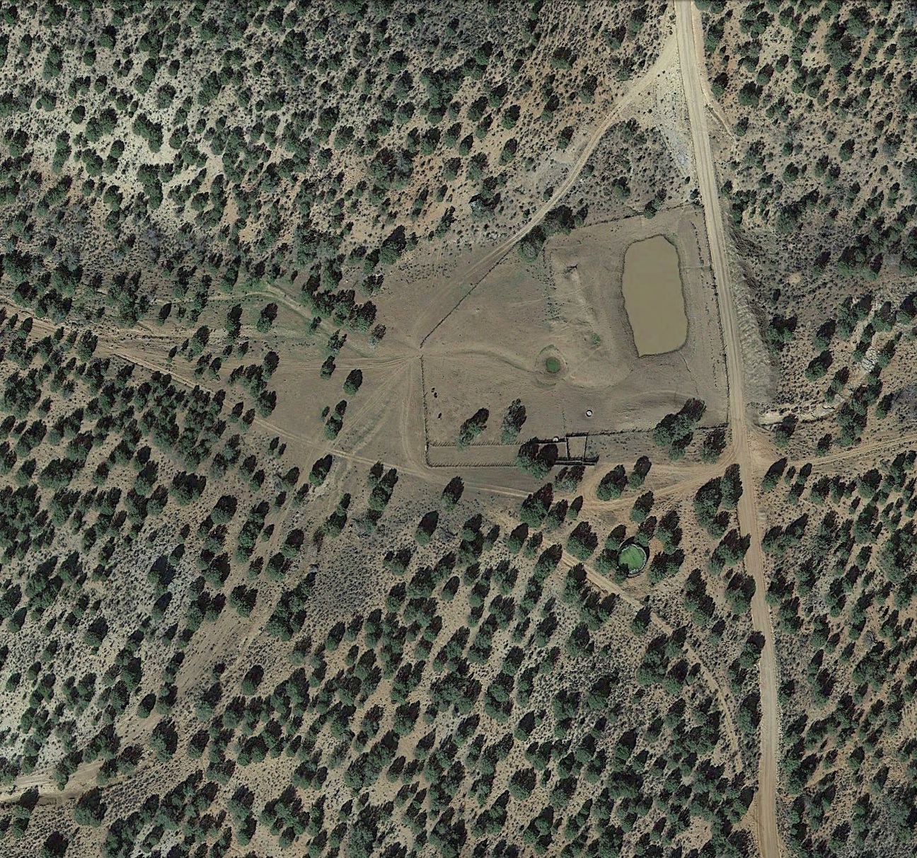
On Mohave County Road 103
36° 20' 55.91" North Latitude, 113° 37' 34.29" West Longitude 36.3489° North Latitude, 113.6262° West Longitude 5,905 feet (1,800 meters) MSL |
DESCRIPTION
TBDHISTORY
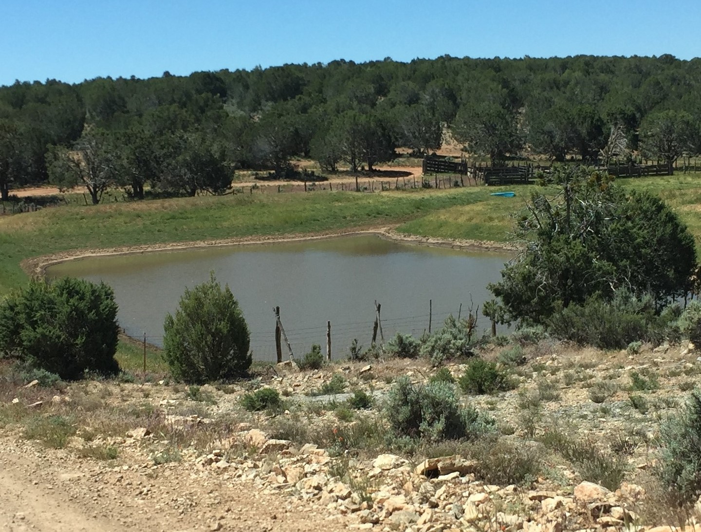
"Dinner Pocket" was a natural stopping off place for people traveling on the Arizona Strip between the Mt. Dellenbaugh / Oak Grove area and St. George.PHOTOS
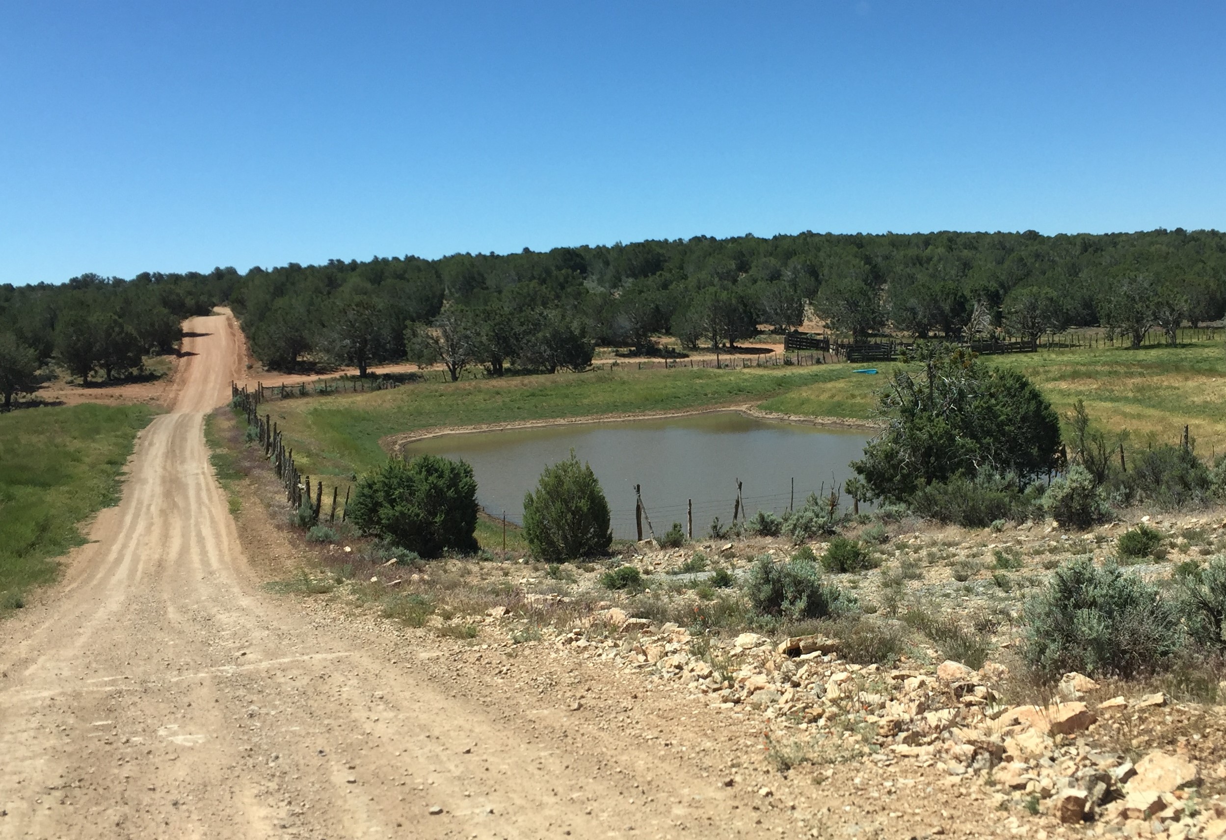 WCHS-03333 Photo of "Dinner Pocket" on the Arizona Strip