WASHINGTON COUNTY HISTORICAL SOCIETY (Washington County, Utah)
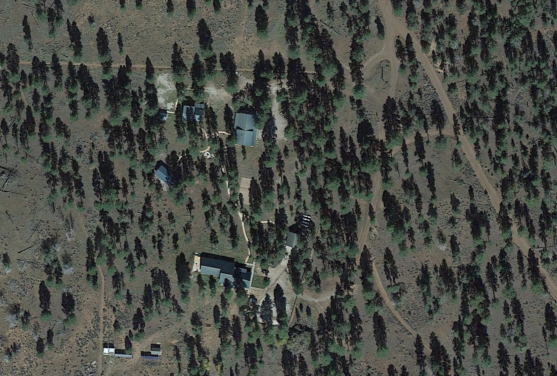
BLM ADMINISTRATIVE SITE
Arizona Strip, Arizona
LOCATION
36° 23' 24.24" North Latitude, 113° 9' 5.45" West Longitude36.3901° North Latitude, 113.1515° West Longitude
6,514 feet (1,985 meters) MSL
DESCRIPTION
TBDHISTORY
TBDPHOTOS
WCHS photos:WCHS-03479 Photo of Ken Sizemore and ??? putting out lunch at the BLM Administrative Site on the Arizona Strip
WCHS-03480 Photo of Ken Sizemore and ??? putting out lunch at the BLM Administrative Site on the Arizona Strip
WCHS-03481 Photo of a staff housing building at the BLM Administrative Site on the Arizona Strip
WCHS-03482 Photo of a staff housing building at the BLM Administrative Site on the Arizona Strip
WCHS-03483 Photo of a staff housing building at the BLM Administrative Site on the Arizona Strip
WCHS-03484 Photo of a staff housing building at the BLM Administrative Site on the Arizona Strip
WCHS-03485 Photo of the firepit and pavilion at the BLM Administrative Site on the Arizona Strip
WCHS-03486 Photo of a ??? building at the BLM Administrative Site on the Arizona Strip
WCHS-03487 Photo of a ??? building at the BLM Administrative Site on the Arizona Strip
WCHS-03488 Photo of the volleyball court and ??? building at the BLM Administrative Site on the Arizona Strip
WCHS-03489 Photo of two buildings and the volleyball court at the BLM Administration Site on the Arizona Strip
WCHS-03490 Photo of a firetruck and the ??? building at the BLM Administrative Site on the Arizona Strip